
What is recorded here
Possibly associated with St Tiedil. Used for Protestant service in the seventeenth century (Comerford 1886, vol. 3, 280-281). A medieval church (max. L c. 11m; Wth c. 7.7m; wall T c. 0.8m) built of roughly coursed limestone blocks. Remains consist of E gable with a segmental arched doorway (Wth c. 1.1m, wall T c. 0.68m) and a rectangular window overhead. No architectural remains visible in surviving portions of N and S walls. Irregularly shaped uninscribed grave-markers visible in graveyard (LA013-053002-).
If Dunamase is to be identified with the Newtown of Leys then its church was that at Kilteale (Urban Survey 1986, 33). The earliest direct reference to the church of the Newtown of Leys is in the taxation of 1302-06 when it was taxed at 12 marks (Sweetman 1875-86, v, p. 468). The existence of the church, however is implied by the reference in 1297 to John, vicar of the Newtown of Leys (Mills 1905, 192).
The above description is derived from the published 'Archaeological Inventory of County Laois' (Dublin Stationery Office, 1995) compiled by P. David Sweetman, Olive Alcock and Bernie Moran. In certain instances the entries have been revised and updated in the light of recent research.
Date of upload: 17 December 2007
The monument record does not grant public access. Check the route and ask the landowner before entering private land.
- What survives
- Recorded monument
Places near here
 Cromwells LinesFairy fort / earthen ringfort · 759 yd
 Enclosure in Ballycarroll (maryborough East By.)Enclosure · 868 yd
 Holy Trinity Church (Kilteale)church/chapel · 964 yd
 Rock of Dunamase InformationVisitor information · 1011 yd
 Rock of DunamaseCastle · 1111 yd
 Rock of Dunamase, Castle (in Ruins)Castle, Anglo-Norman masonry castle · 1122 yd
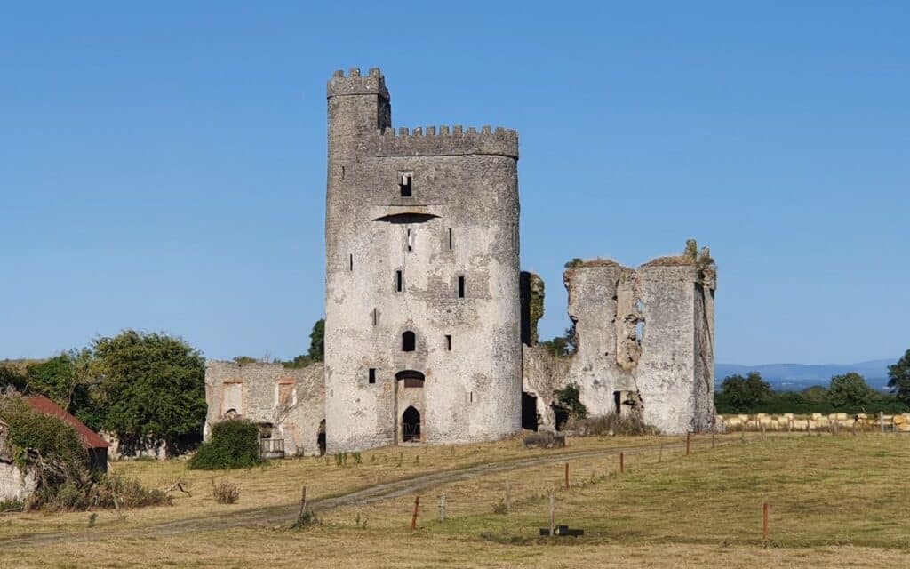 CastleCastle, unclassified · 1137 yd
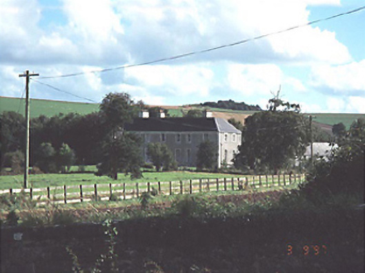 Heath Househouse · 1.6 mi
 European BeechEuropean Beech · 2.4 mi
 CEMETERYGraveyard · 3.2 mi
 Oughaval Wood MapVisitor information · 3.6 mi
 Black WalnutBlack Walnut · 3.6 mi
Other information
Photo: Dylan Moore · CC BY-SA 2.0