What is recorded here
According to local kowledge this stone was removed from its original location at Cully (OF024-001----). It is now incorporated into the fire surround at the Blue Ball pub nearby (OF024-002----). The stone is inscribed with the date '1641' and is dressed with pocked stone tooling very similar to the doorway of Srah castle. The locals said that it came from Derrymore House a 19th century townland house which had acquired it from the 17th century building (OF024-001----) in the nearby townland of Cully, that is depicted as the 'Convent in Ruins' on the 1838 edition of the Ordnance Survey six-inch map.
Compiled by: Caimin O'Brien.
Date of upload: 10 December 2012
Dated to the early medieval period, the inscribed stone likely served a commemorative or territorial function. Its relocation to the Blue Ball pub suggests local reverence or folklore associated with the stone’s original site.
The monument record does not grant public access. Check the route and ask the landowner before entering private land.
- What survives
- Recorded monument
Places near here
 Convent in RuinsReligious house, Franciscan friars · 6 yd
 Castle in ruinsCastle, unclassified · 639 yd
 Church (in Ruins)Church · 1429 yd
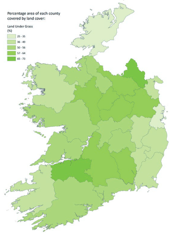 StructureStructure, peatland · 1690 yd
 Enclosure in BallyfarrellEnclosure · 1.1 mi
 Graveyard in PallasGraveyard · 1.4 mi
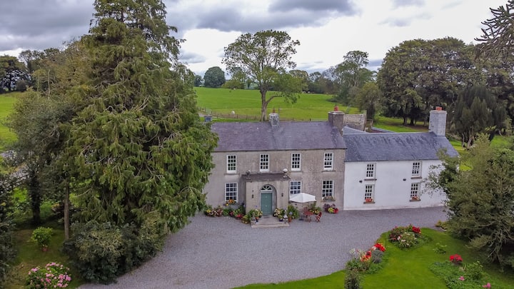 Bawn in Roscore DemesneBawn · 1.6 mi
 Lowerton HillMountain / peak · 2.1 mi
 HawthornHawthorn · 2.8 mi
 Ardnagross WellSpring · 3.3 mi
 Troy's Island or DerryheeraghMountain / peak · 3.4 mi
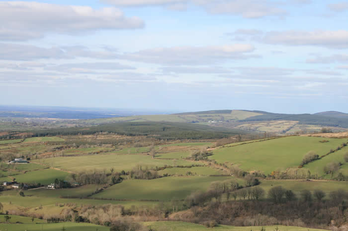 The Offaly WayWalking route · 3.5 mi