What is recorded here
Described by Rynne (SMR file, 1962) as 'a large, flattish boulder (limestone?)' apparently found on the Hill of Allen in 1961, and moved to outside the doorway of Ballyteague Castle (KD013-020----). Rynne's sketch shows an apparently compass-drawn palmette-style design. An inspection in 1999 failed to locate this stone.
Compiled by: Gearóid Conroy, Paul Walsh
Date of upload: 22 March 2014
The monument record does not grant public access. Check the route and ask the landowner before entering private land.
- What survives
- Recorded monument
Places near here
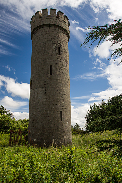 Allen TowerDesigned landscape, folly · 4 yd
 Hill of AllenMountain / peak · 11 yd
 Enclosure in BarnacrowEnclosure · 707 yd
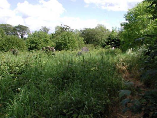 graveyard/cemeterygraveyard/cemetery · 1400 yd
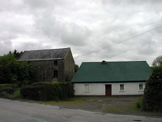 mill (water)mill (water) · 1545 yd
 Kilmeague CastleRuins · 1.7 mi
 Bawn in Grangeclare WestBawn · 2.1 mi
 Pollardstown Fen Nature ReserveNature reserve · 2.9 mi
 Grand Canal WayVisitor information · 3.4 mi
 Lullymore Heritage ParkHeritage attraction · 4.6 mi
 Foran's WoodForest · 4.6 mi
 Bithia Mary CrokerMemorial · 5.5 mi