What is recorded here
Places near here
Photo credits
- Maker not stated on source page, www.explore.com
- Kenneth Allen, Geograph · CC BY-SA 2.0
- Maker not stated on source page, www.thejournal.ie
- Maker not stated on source page, tr.pinterest.com
- Maker not stated on source page, www.dreamstime.com
- Maker not stated on source page, www.echolive.ie
- Maker not stated on source page, blog.irishtourism.com
- National Inventory of Architectural Heritage
- Maker not stated on source page, www.alamy.com
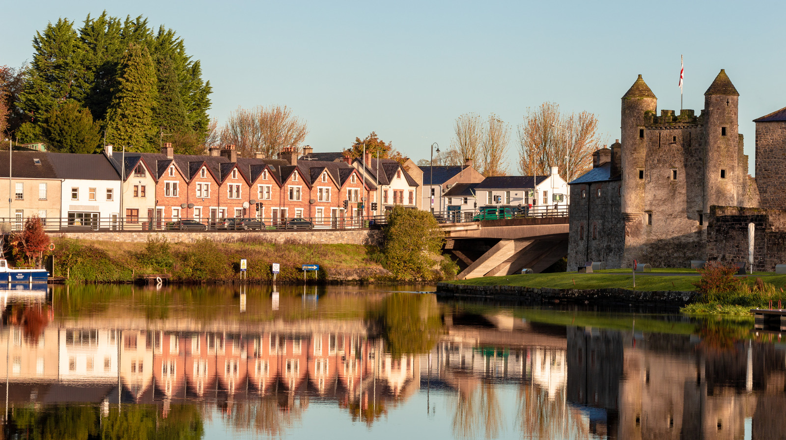 Rosscorkey IslandMountain / peak · 1750 yd
Explorer Tom Rosscorkey Island in County Fermanagh would describe itself to a stranger as 'a very dramatic rock that thinks it's an…
 Lough MacNean WalkWalking route · 1.0 mi
Explorer Tom Lough MacNean Walk in County Leitrim would order a double chipper with vinegar and absolutely no apologies. It’s a path…
 Port IslandIslet · 1.0 mi
Explorer Tom Port Island in County Cavan has a secret talent for making everyone around it feel like they are walking very slowly…
 Bullaun stone in CarrickrevaghBullaun stone · 1.4 mi
Explorer Tom Two basins on this Carrickrevagh rock are sitting on boggy land, claiming they are actually from the Bronze Age.…
 Anomalous stone group in Laghty BarrAnomalous stone group · 1.5 mi
Explorer Tom Anomalous stone group in Laghty Barr is a bunch of rocks sticking out of the bog, looking like they’re about to sell…
 Bullaun stone in Laghty BarrBullaun stone · 1.5 mi
Explorer Tom Bullaun stone in Laghty Barr is sitting on another stone, which feels a bit like a stacked lunch box. The matchmaker…
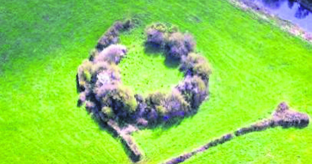 Fairy fort / earthen ringfort in ArdmoneenFairy fort / earthen ringfort · 1.8 mi
Explorer Tom Fairy fort / earthen ringfort in Ardmoneen brags about surviving a storm that flattened every other hill in the valley.…
 Kilrooskagh IslandIsland · 2.0 mi
Explorer Tom Kilrooskagh Island looks like someone accidentally dropped a potato in the lough and forgot to pick it up. The builder…
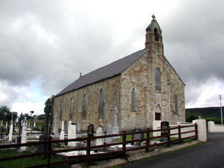 Saint Mary's Catholic ChurchChurch/chapel · 2.3 mi
Explorer Tom Saint Mary's Catholic Church in Laghty is built from red sandstone that looks like it survived a storm by sheer…
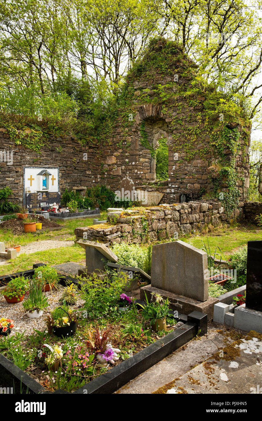 Mapped graveyardGraveyard · 2.3 mi
Explorer Tom Mapped graveyard in County Leitrim is said to have a hidden tunnel straight to the nearest pub cellar. Nobody has found…
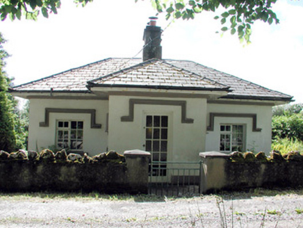 Glenfarne HallGate lodge · 2.3 mi
Explorer Tom Glenfarne Hall was the gate lodge to a huge estate and nearly got famous when a tourist mistook it for a haunted cabin…
 Killinagh Old GraveyardGraveyard · 2.5 mi
Explorer Tom Killinagh Old Graveyard bragged about surviving a storm that flattened half the county in 1940s. The wind screamed so…
More islands in County Fermanagh · All of County Fermanagh

What do you know about this place?Tap to add a comment or ask a question