
What is recorded here
Inis Mhic an Doirn is a small Atlantic island off County Donegal where ambitious British fishing works collapsed into sand dunes within a decade. William Burton Conyngham built streets, a customs house and a net factory there in the 1780s, then renamed the place after Charles Manners, 4th Duke of Rutland. The herring left, the buildings buried, and ordinary life continued beside the ruins until holiday homes replaced most of it.
Inis Mhic an Doirn is recorded as a island in County Donegal. Its open map record supplies this location and any linked names or public references.
Inis Mhic an Doirn is a small island located off the coast of County Donegal, traditionally part of the richly Gaelic cultural landscape of the region. The island's name, meaning "Island of the Doe's Son," reflects the Irish linguistic heritage and possible historical connections to local folklore or family lineages.
Places near here
 Hook Point / Pointe an DuáinHeadland · 753 yd
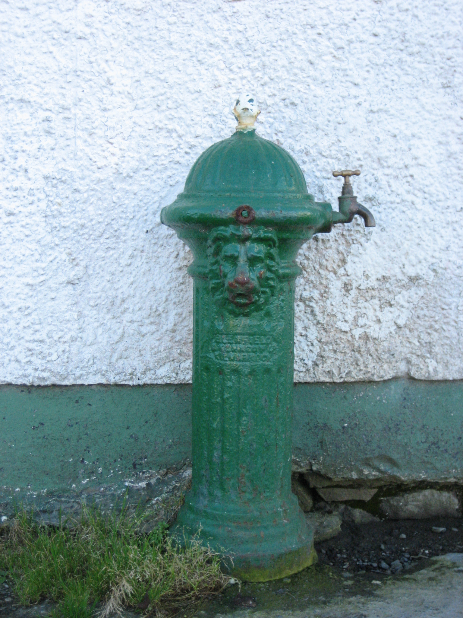 water pumpwater pump · 1323 yd
 Near beachBeach / strand · 1394 yd
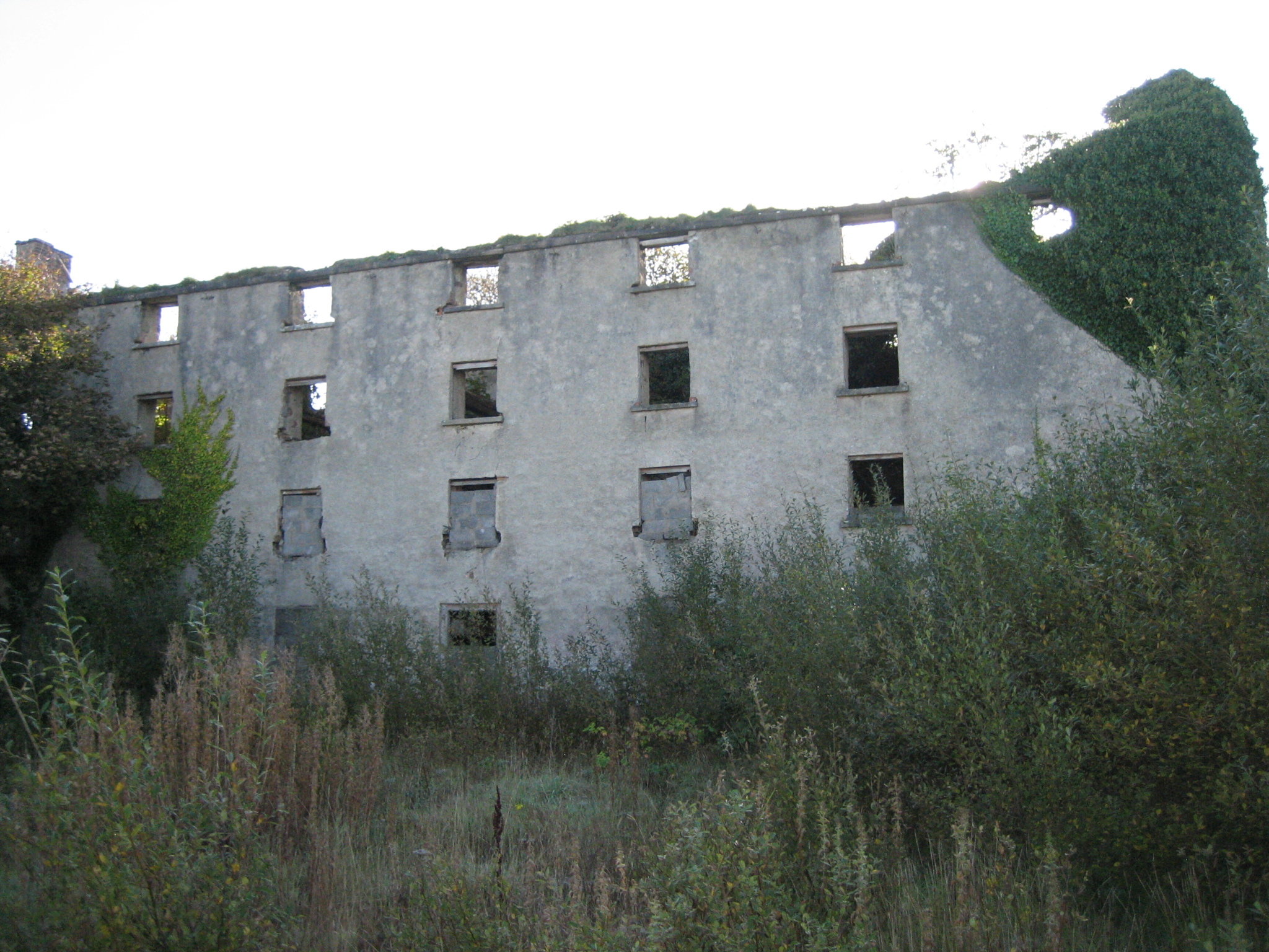 store/warehousestore/warehouse · 1646 yd
 Shipwreck beachBeach / strand · 1751 yd
 An tÍochtarIsland · 1.2 mi
 Holy well in Oileán CrónaHoly well · 1.4 mi
 An t-Oileán LeathanIsland · 1.6 mi
 Promontory fortPromontory fort, coastal · 1.8 mi
 CroaghnamaddyMountain / peak · 4.5 mi
 Tor an ÉidighHeadland · 4.7 mi
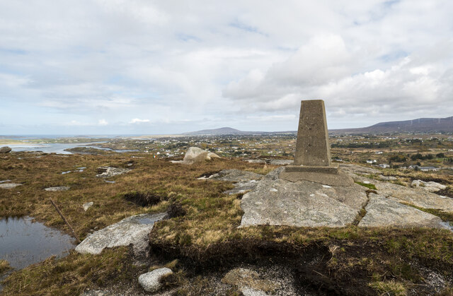 Annagary HillMountain / peak · 6.1 mi
Other information
Photo: Joseph Mischyshyn · CC BY-SA 2.0