
What is recorded here
Inis Bó Finne, the island of the white cow, floats eight kilometres off Connemara until fishermen land in fog and build a fire. Their flame breaks the ancient magic, forces the water to retreat, and reveals an old woman driving a pale cow across green grass. When she strikes the animal with a wooden stick, it becomes a white rock, anchoring the island in the Atlantic forever. The cow remains visible today, marking the moment human presence transformed a phantom into a home.
Inis Bó Finne is recorded as a island in County Donegal. Its open map record supplies this location and any linked names or public references.
Inis Bó Finne is a small island located off the coast of County Donegal, traditionally associated with early monastic or farming settlements in the region. It is notable for its inclusion in historical and linguistic studies of Irish island names, with "Inis Bó Finne" meaning "Island of the White Cows," reflecting ancient land use or local legend.
Places near here
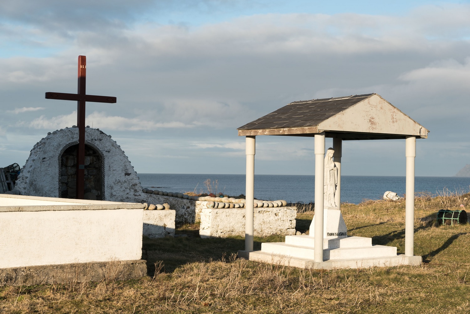 ToberglassanHoly well · 490 yd
 Scoil Náisiúnta Inis Bó Finne [Inishbofin National School]school · 1008 yd
 Promontory fortPromontory fort, coastal · 1675 yd
 Oileán DúicheIslet · 1.1 mi
 Old ChapelChurch · 1.2 mi
 MagheraroartyOfficial bathing water · 2.1 mi
 Trá Dhroim na TineBeach / strand · 3.3 mi
 Castle Bawne (in Ruins)Bawn · 3.5 mi
 Wych ElmWych Elm · 3.9 mi
 Monterey CypressMonterey Cypress · 3.9 mi
 Cnoc FolaMountain / peak · 4.3 mi
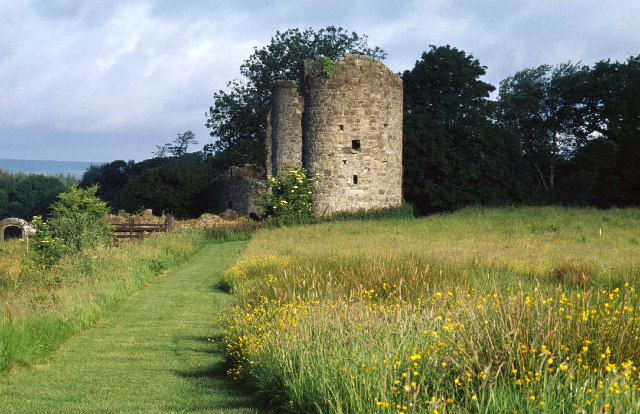 Old CastleCastle, unclassified · 5.1 mi
Other information
Photo: Alan Reid · CC BY-SA 2.0