
What is recorded here
On a small hillock, on an E-facing slope, in improved pasture and 12m to E of a townland boundary with Pallashill. Depicted as a circular shaped tree-plantation and not as an antiquity on the 1840 ed. OSi 6-inch map. Shown on the revised 1897 ed. OS 25-inch map as a circular-shaped tree-planted enclosure. Monument…
Read the whole record
From the National Monuments Service (Archaeological Survey of Ireland) record LI024-047
Places near here
Photo credits
- Maker not stated on source page, monumentalireland.ie
- National Inventory of Architectural Heritage
- Maker not stated on source page, en.wikipedia.org
- Maker not stated on source page, commons.wikimedia.org
- Maker not stated on source page, www.wikidata.org
- Garry Dickinson, Geograph · CC BY-SA 2.0
- Maker not stated on source page, evoke.ie
- Maker not stated on source page, www.gettyimages.com
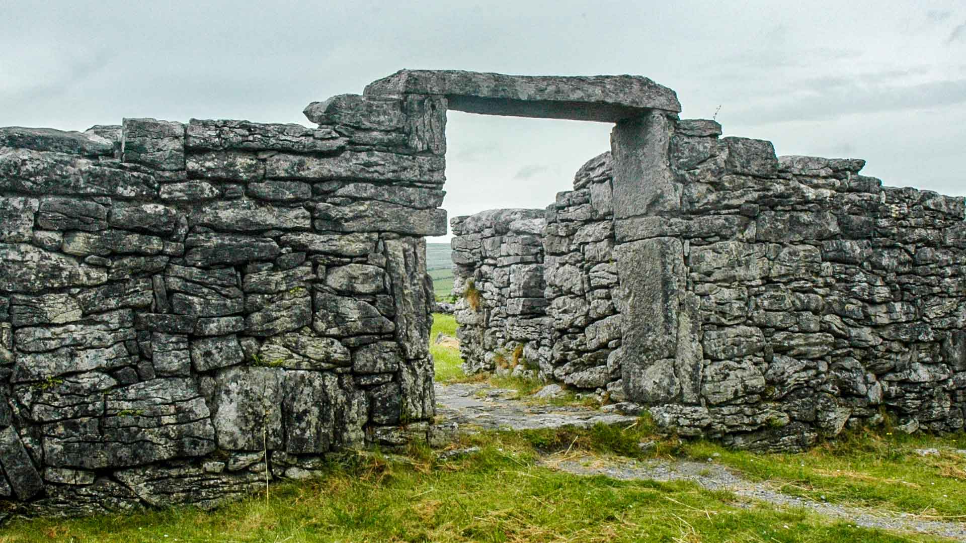 Fairy fort / ringfort in MoymoreFairy fort / ringfort · 272 yd
Explorer Tom Fairy fort in Moymore has a superstition that says if you don't look left, your shoes will fill with mud forever. It’s…
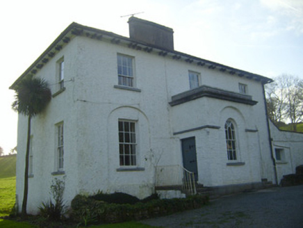 Moymore HouseRectory/glebe/vicarage/curate's house · 446 yd
Explorer Tom Moymore House in Moymore sits on a hillside like a proud vicar who knows he's right. I bet a fiddler played there till…
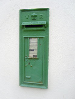 post box661 yd
Explorer Tom Post box in Lackanascarry holds a fake world record for most letters left behind by mistake. It’s a notable example of…
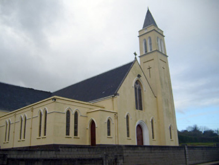 Catholic Church of Saint John the BaptistChurch/chapel · 670 yd
Explorer Tom Catholic Church of Saint John the Baptist in Lackanascarry sits on a hill like it’s waiting for someone to admit they…
 Church (in ruins)Church · 1405 yd
Explorer Tom Church in Pallas is holding a grudge against the weather that kept picking on its roof for centuries. It’s still salty…
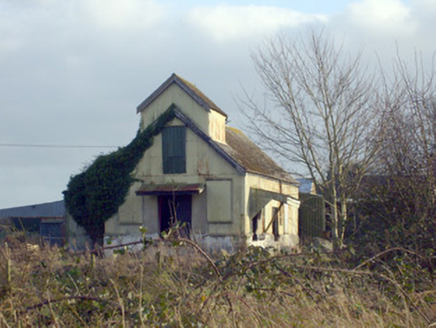 Race CreameryCreamery · 1611 yd
Explorer Tom Race Creamery holds a long grudge against the weather for making milk sour before delivery. It’s a corrugated-iron…
 Earthwork in Knockroe (coonagh By.)Earthwork · 1.9 mi
Explorer Tom Earthwork in Knockroe would handle a nosey neighbour by tilting its scarp and pretending to be a hill. It sits on a…
 Fairy fort / earthen ringfort in BoherroeFairy fort / earthen ringfort · 2.1 mi
Explorer Tom Fairy fort / earthen ringfort in Boherroe started because two lads bet on whether it could survive a tractor. It did…
 garda station/constabulary barracks4.0 mi
Explorer Tom Garda station or constabulary barracks in Rockfarm has a New Year's resolution to stop being a pub and start acting…
 Fairy fort / earthen ringfort in BallyhobinFairy fort / earthen ringfort · 4.1 mi
Explorer Tom Fairy fort / earthen ringfort in Ballyhobin started a massive feud between two families over who owned the view of…
 outbuilding4.2 mi
Explorer Tom Outbuilding in Ballyvorneen would order extra thick chips with vinegar at the chippy corner. It thinks its stone walls…
 CastleCastle, unclassified · 4.6 mi
Explorer Tom This Castle in Greenane supposedly has a hidden tunnel straight to the local pub. Nobody's found it yet, which keeps…
More archaeology and monuments in County Limerick · All of County Limerick

What do you know about this place?Tap to add a comment or ask a question