What is recorded here
Monument, depicted as isolated embanked circular enclosure (diam. c. 20m) on 1841 OS 6-inch map has since been incorporated into gardens of Fort George country house. A roughly circular area (21.5m N-S; 24m E-W) is enclosed by earthen bank SSW->NNE. Bank (int. H 0.15m; ext. H 0.5m) has been ornamentally paved over with stone and brick. A paved footpath follows line of bank NNE->SW. Interior under lawn, with paved circular area (diam. c. 4m) containing sundial at centre. Steps lead up to interior from adjoining house at SSW and SE.
Compiled by: Denis Power
Date of upload: 26 August 2011
The monument record does not grant public access. Check the route and ask the landowner before entering private land.
- What survives
- Recorded monument
Places near here
 Fulacht fia in CastlematrixFulacht fia · 157 yd
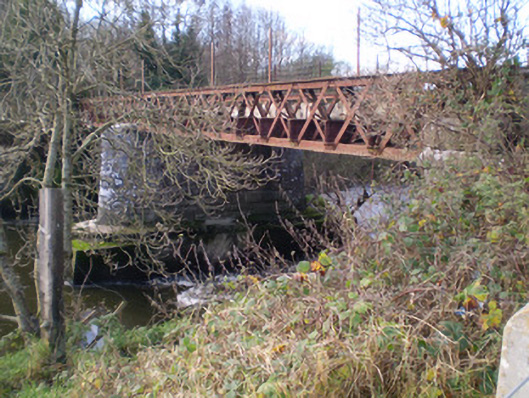 bridgebridge · 256 yd
 Castle MatrixCastle, tower house · 336 yd
 Glebe CastleCastle · 441 yd
 Mill (in ruins)Mill, unclassified · 516 yd
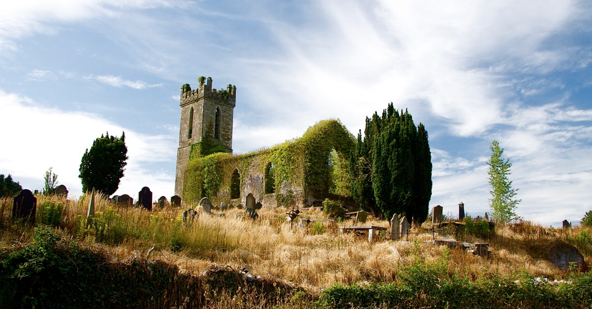 Grave YardGraveyard · 682 yd
 TobernablahySpring · 1.1 mi
 St. Kieran's WellSpring · 2.3 mi
 European ashEuropean ash · 2.4 mi
 Little HeavenHeritage attraction · 5.9 mi
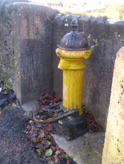 water pumpwater pump · 605 yd
 Holy Trinity Church (Rathkeale)mausoleum · 641 yd