
What is recorded here
In garden, on S-facing slope. Depicted as semicircular enclosure on 1842 OS 6-inch map. No visible surface trace.
The above description is derived from the published 'Archaeological Inventory of County Cork. Volume 2: East and South Cork' (Dublin: Stationery Office, 1994). In certain instances the entries have been revised and updated in the light of recent research.
Date of upload/revision: 14 January 2009
The monument record does not grant public access. Check the route and ask the landowner before entering private land.
- What survives
- Recorded monument
Places near here
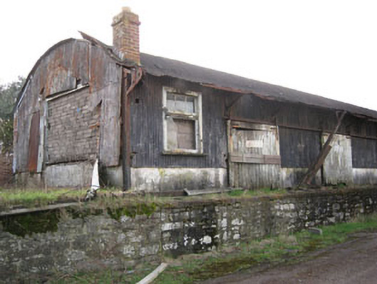 Kinsale Railway Stationstore/warehouse · 179 yd
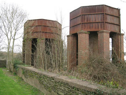 water towerwater tower · 251 yd
 James FortVisitor information · 694 yd
 Tim & Mortimer McCarthy MemorialMemorial · 694 yd
 Dermot Ryan's Heritage Town WalksHeritage attraction · 699 yd
 Spanish Galleon MainmastHeritage attraction · 709 yd
 GaolCastle, tower house · 774 yd
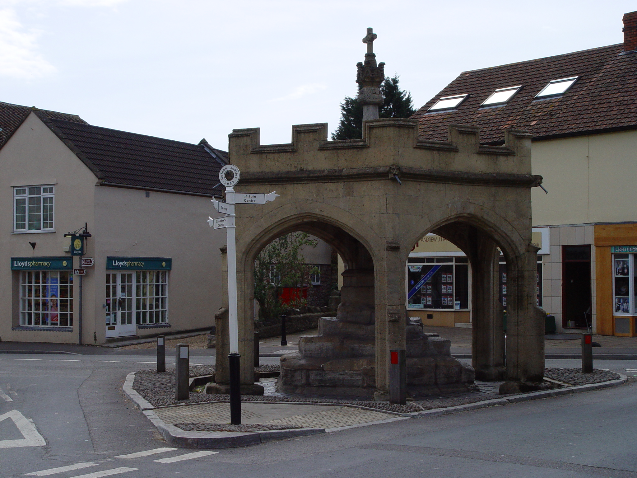 CrossCross, Market cross · 817 yd
 Town WallTown defences · 825 yd
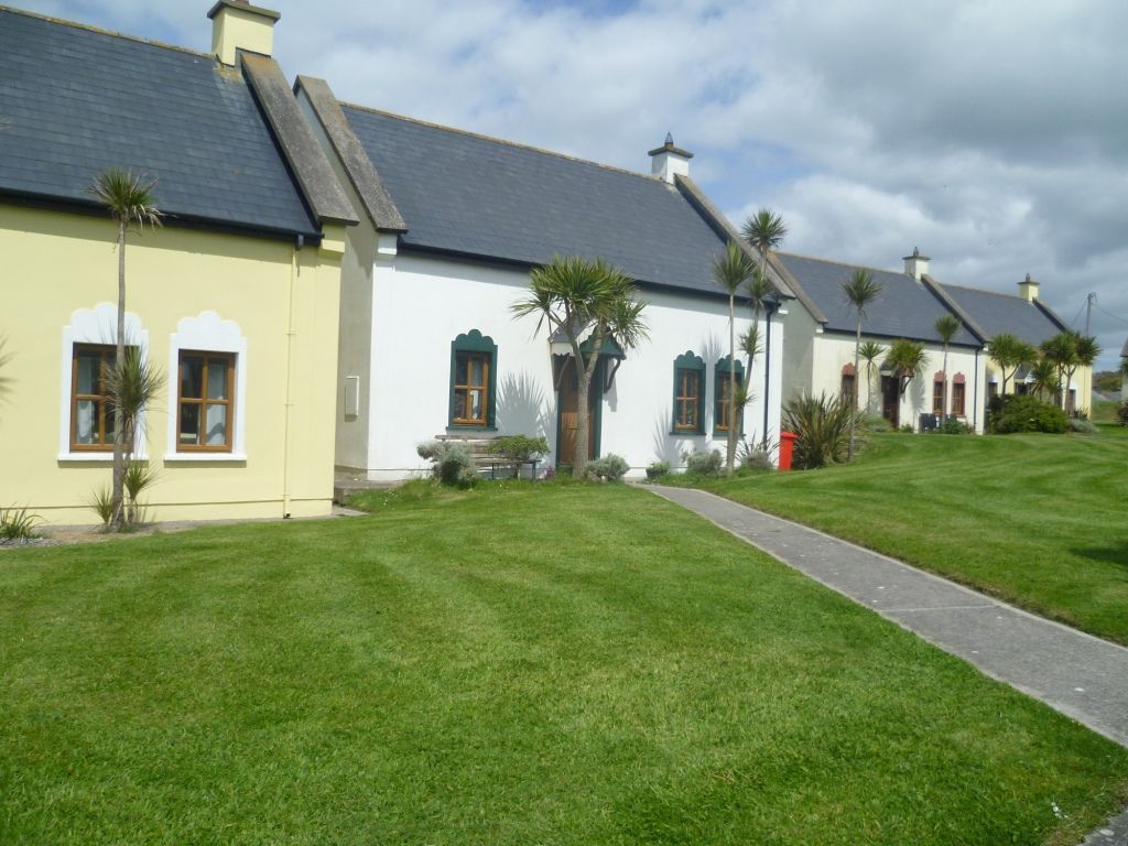 Kinsale Alms HousesVisitor information · 886 yd
 World War I MemorialMemorial · 1047 yd
 Battle of KinsaleMajor battlefield · 1207 yd
Other information
Photo: Credit not shown in the picture search · Rights wording not checked; contact us if this picture should be removed