
What is recorded here
The remains of a roughly-circular tree-lined enclosure which could be the remains of a possible ringfort are visible on OSI 2005 aerial photograph (pers. comm. C. McCormack). Depicted as a rectangular shaped-area of waste land on the 1837 ed. OS 6-inch map. Depicted as a small natural hillock on the 1910 ed. OS 6-inch map. This enclosure may be a ringfort, alternatively it may be the remains of a small circular field of post medieval date which encloses a small natural hillock that was fenced off by landowner in the 19th century. Not depicted as an antiquity on any edition of the OS 6-inch maps.
Compiled by: Caimin O’Brien
Date of upload: 14 February 2014
The monument record does not grant public access. Check the route and ask the landowner before entering private land.
- What survives
- Recorded monument
Places near here
 Penal Mass station in VilanstownPenal Mass station · 460 yd
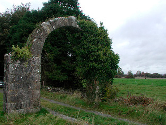 Violetstown Housefarmyard complex · 479 yd
 Partially hachuredFairy fort / earthen ringfort · 665 yd
 Not idnicatedFairy fort / earthen ringfort · 836 yd
 CastleCastle, tower house · 1.3 mi
 Bawn in Simonstown (fartullagh By.)Bawn · 1.9 mi
 United Nations War MemorialMemorial · 5.0 mi
 Roundhill WoodForest · 11 mi
 Rahin WoodsForest · 11 mi
 Hut site in Corbally (fartullagh By.)Hut site · 870 yd
 Ecclesiastical enclosure in CatherinestownEcclesiastical enclosure · 922 yd
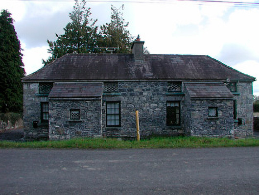 worker's houseworker's house · 1149 yd
Other information
Photo: Credit not shown in the picture search · Rights wording not checked; contact us if this picture should be removed