What is recorded here
On a flat low-lying landscape within a golf-course. Described (de Valera and O 'Nuallain 1972, 33-4) as a gallery (dims 8.5m E-W; 1-1.7m N-S) with seven side-stones on the N and ten on the S sides, and with one lintel at the E end. The W end is separated by a septal stone from a portico (dims 1.5m x c. 1.5m) which has two facade stones to the N. It was within a trapezoidal cairn or mound (dims c. 10m E-W; c. 2.5m N-S at E to c. 7.5m N-S at W) defined by kerbstones at N and S. It is now visible as a circular, rounded and grass-covered mound (diam. c. 24m; H 1.6-2m) with the capstone of the gallery just visible on its summit. Rath (RO006-172----) is c. 80m to the SW.
Compiled by: Michael Moore
Date of upload: 24 August 2010
See linked document with details from Ruaidhrí de Valera and Seán Ó Nualláin, Survey of the Megalithic Tombs of Ireland. Volume III. Counties Galway, Roscommon, Leitrim, Longford, Westmeath, Laoighis, Offaly, Kildare, Cavan. (Dublin: Stationery Office, 1972).
Neolithic passage tomb, dating to the earlier part of the 4th millennium BCE. Its significance lies in its structural complexity and orientation, reflecting early megalithic architectural traditions in the region.
The monument record does not grant public access. Check the route and ask the landowner before entering private land.
- What survives
- Recorded monument
Places near here
 Enclosure in UsnaEnclosure · 124 yd
 indicatedFairy fort / stone ringfort · 721 yd
 Hughestown WoodForest · 1474 yd
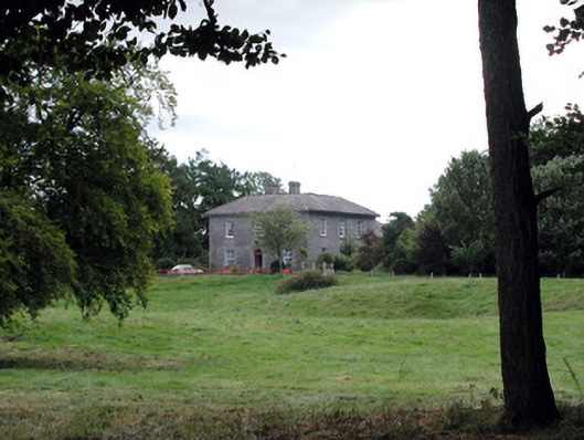 Glencarne Househouse · 1530 yd
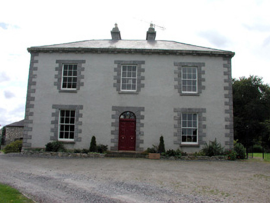 Ellesmere Househouse · 1.1 mi
 Horse-chestnutHorse-chestnut · 2.9 mi
 Lough Key Forest ParkWood · 3.1 mi
 Moylung Castle (in ruins)Castle, unclassified · 3.2 mi
 Swallow IslandIslet · 3.5 mi
 Moon RiverHeritage attraction · 3.5 mi
 Erris BayBay · 3.7 mi
 Trinity IslandIslet · 3.8 mi