What is recorded here
Towards the top of a gentle rise. Overgrown circular area (diam. c. 28m) defined by the base of a stone wall with facing-stones (Wth 2m; H 0.4m) S-W-N. The monument is bisected by a N-S field wall and largely removed to E of this feature where the perimeter is defined by a slight scarp. Moore (Dublin: Stationery Office, 2003).
From the National Monuments Service (Archaeological Survey of Ireland) record LE001-051
The monument record does not grant public access. Check the route and ask the landowner before entering private land.
- What survives
- Recorded monument
Places near here
Photo credits
- National Inventory of Architectural Heritage
- NTF30, Wikimedia Commons · CC BY-SA 4.0
- Wanfried-Dublin, Wikimedia Commons · CC BY-SA 4.0
- Oliver Dixon, Wikimedia Commons · CC BY-SA 2.0
- Suzanne Mischyshyn, Geograph · CC BY-SA 2.0
- Jacobfrid, Wikimedia Commons · CC BY-SA 4.0
- Michael Murtagh, Geograph · CC BY-SA 2.0
- N Chadwick, Geograph · CC BY-SA 2.0
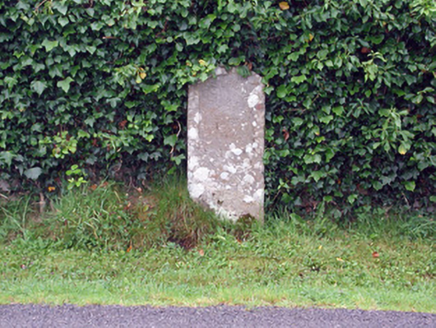 milestone/milepost1.2 mi
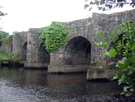 Mary's BridgeBridge · 1.4 mi
 TievebaunMountain / peak · 2.9 mi
 Magheracar Passage TombPassage tomb · 3.0 mi
 Magheracar Wedge TombWedge tomb · 3.0 mi
 Creevykeel Court TombNeolithic court tomb · 3.3 mi
 Gleniff Horseshoe Drive 2Viewpoint · 3.3 mi
 Gleniff Horseshoe DriveViewpoint · 3.4 mi
 Eagle's RockMountain / peak · 3.7 mi
 Arroo MountainMountain / peak · 4.1 mi
 BundoranOfficial bathing water · 4.2 mi
 assassination of Louis Mountbatten, 1st Earl Mountbatten of BurmaAssassination · 4.3 mi
More archaeology and monuments in County Leitrim · All of County Leitrim
What do you know about this place?