What is recorded here
Situated on an unreclaimed area of limestone outcrop. A grass and scrub-covered area of about 41 acres (c. 15 ha) contains a high density of rectangular plots and house remains associated with lazy-bed cultivation and dating probably to the 18th or 19th century, but some walls could relate to an earlier field system. It contains the cashel (RO047-016001-) and the fields are overlaid by a pattern of 19th century field strips (Wth c. 25m) aligned WNW-ESE.
Compiled by: Michael Moore
Date of upload: 24 August 2010
The monument record does not grant public access. Check the route and ask the landowner before entering private land.
- What survives
- Recorded monument
Places near here
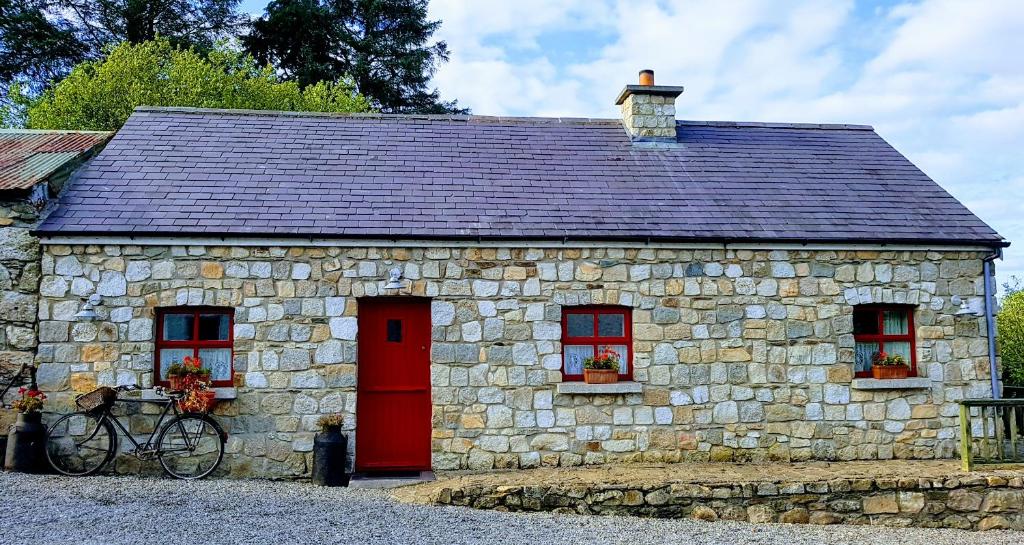 Enclosure in TurrockEnclosure · 143 yd
 Turrock FortFairy fort / earthen ringfort · 461 yd
 Inchnaveague IslandIslet · 1.0 mi
 InchnagowerIslet · 1.3 mi
 CastleCastle, unclassified · 1.7 mi
 Church in Cloghan,curraghadoonChurch · 1.9 mi
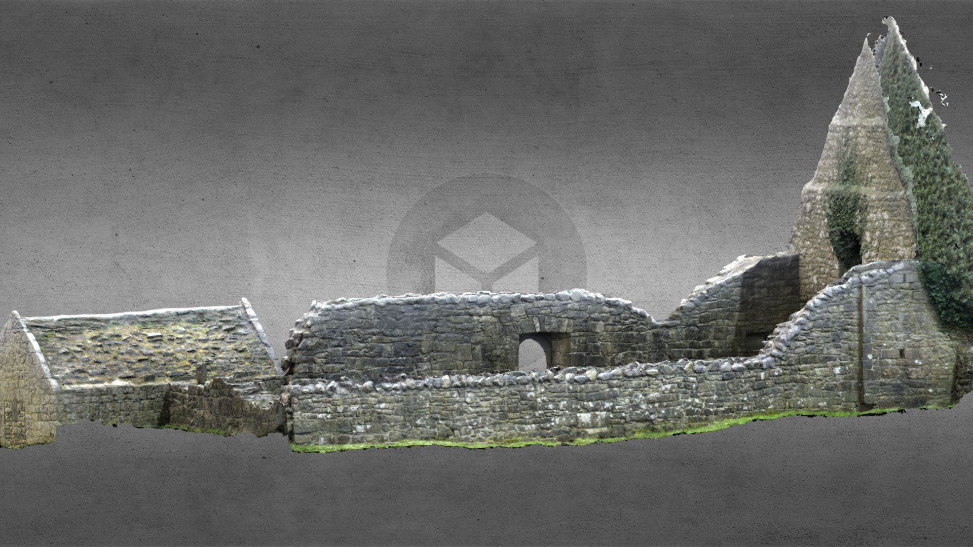 Church (in Ruins)Church · 1.9 mi
 Castle (Site of)Castle, unclassified · 3.5 mi
 European Crab AppleEuropean Crab Apple · 5.3 mi
 Aughrane WoodsForest · 6.4 mi
 Mount MaryMountain / peak · 9.5 mi
 Kilconnell AbbeyHeritage attraction · 13 mi