What is recorded here
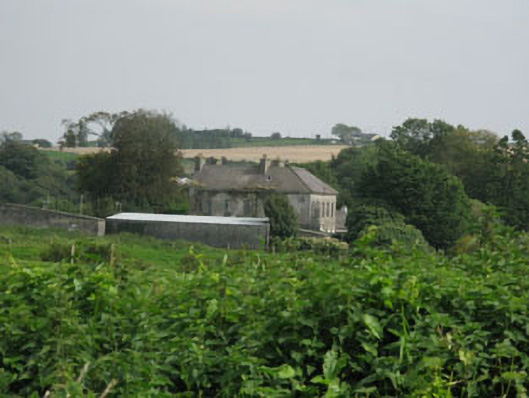
In pasture on gentle W-facing slope. Raised rectangular area (50.5m E-W; 47.0m N-S) defined by scarp (H 1.6m) to S, W and N; stone wall to E; section of earthen bank (H 1.6m) at SE corner. Interior slopes gently down to S, planted with conifers.
The above description is derived from the published 'Archaeological Inventory of County Cork. Volume 1: West Cork' (Dublin: Stationery Office, 1992). In certain instances the entries have been revised and updated in the light of recent research.
Date of upload/revision: 14 January 2009
The monument record does not grant public access. Check the route and ask the landowner before entering private land.
- What survives
- Recorded monument
Places near here
 Tullylandfarm house · 89 yd
 Brookfieldhouse · 1712 yd
 Graveyard (Disused)Burial ground · 1.2 mi
 Table StoneMass-rock · 1.3 mi
 Carbury's WellSpring · 1.5 mi
 Marie LouiseWreck · 2.2 mi
 Bandon War MemorialMemorial · 2.3 mi
 Carrighnassig Castle (Site of)Castle, unclassified · 2.4 mi
 Cathal Hurley MemorialMemorial · 2.5 mi
 Dromkeen Wood Nature ReserveForest · 2.7 mi
 Shippool WoodWood · 2.7 mi
 Shippool CastleCastle · 2.9 mi