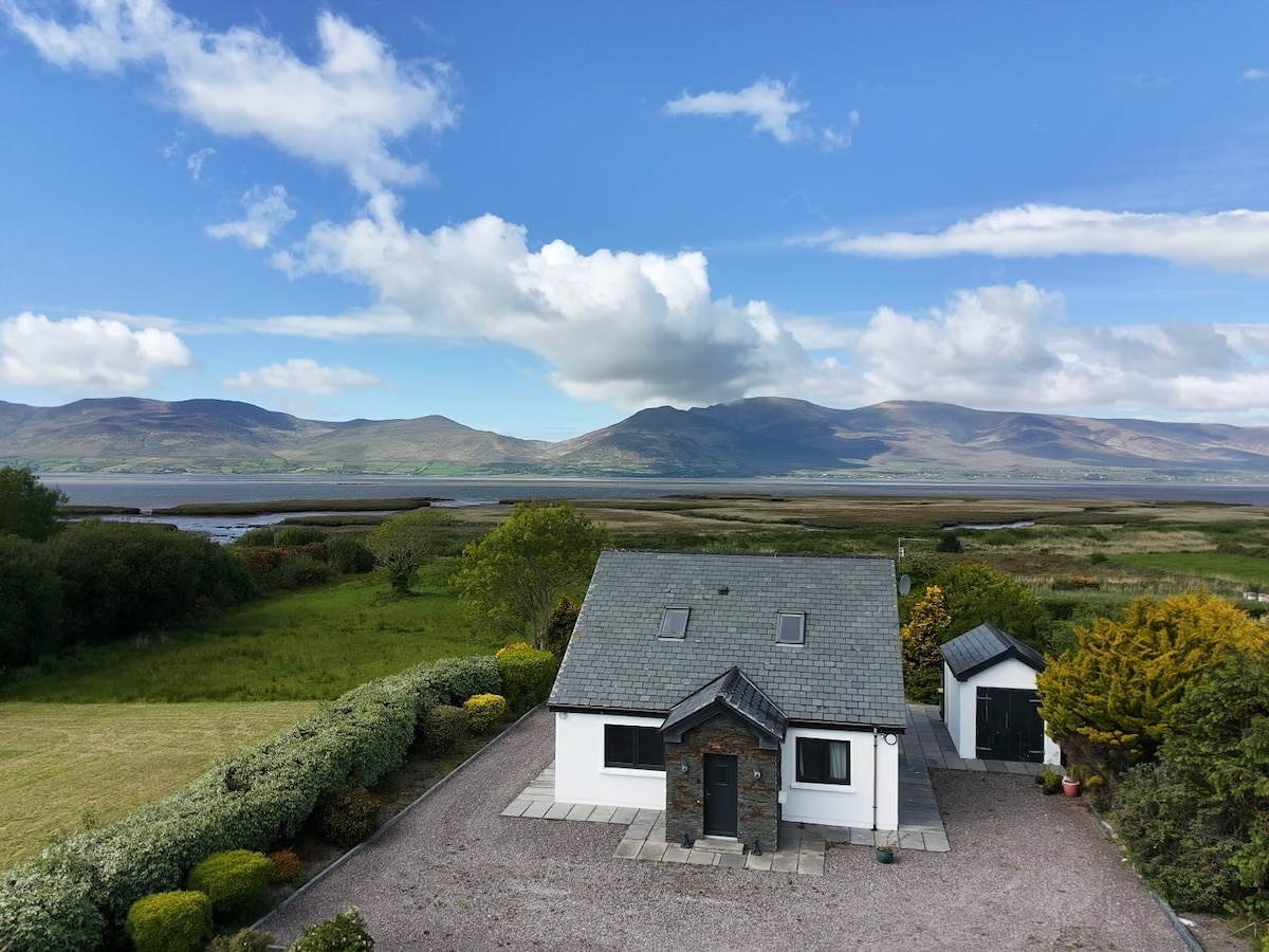
What is recorded here
In pasture, on S-facing slope, overlooking the valley of the Cummeenboy stream. This possible rath is not visible at ground level. It is indicated as a circular enclosure (diam. c. 25m) on the 1846 OS 6-inch map. On the 1895 OS 6-inch map, the N and E arcs are indicated as straightened and incorporated into the field boundary system. According to the landowner, the field boundaries were levelled and the fields re-seeded during land reclamation a number of years ago.
The above description is derived from the published 'Archaeological Inventory of County Kerry. Volume I: South-West Kerry' (Dublin: Stationery Office, 2009). In certain instances the entries have been revised and updated in the light of recent research.
Date of upload: 30 May 2011
The monument record does not grant public access. Check the route and ask the landowner before entering private land.
- What survives
- Recorded monument
Places near here
 Man-made underground passage in CummeenboyMan-made underground passage · 736 yd
 Hut site in CummeenboyHut site · 1159 yd
 Shanagarry Castle (Site of)Castle, unclassified · 1.3 mi
 CoombaneMountain / peak · 1.4 mi
 Lead Mine (Disused).Mine, lead · 1.4 mi
 KnockanaguishMountain / peak · 1.8 mi
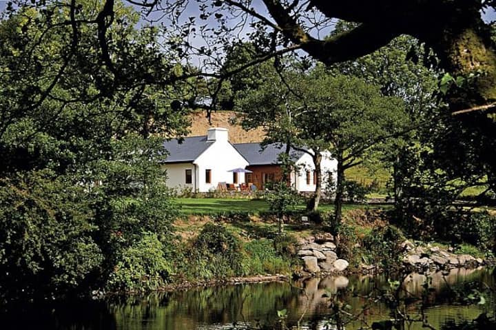 Roughty LodgeCountry house · 1.8 mi
 CastleCastle, unclassified · 2.2 mi
 The Lodge WoodWood · 2.6 mi
 Monterey CypressMonterey Cypress · 2.7 mi
 Kenmare Tourist Information OfficeVisitor information · 2.7 mi
 Kenmare Heritage Town - Main StreetMemorial · 2.8 mi
Other information
Photo: Credit not shown in the picture search · Rights wording not checked; contact us if this picture should be removed