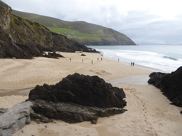
What is recorded here
In a rath (KE084-020----). According to local information, a concave depression (Wth 1m; D 0.4m) in the centre of the rath marks the closed-up entrance to a Man-made underground passage. The landowner described stone steps leading down to an earth-cut passage, roofed with stone slabs and extending in an E-W direction.
The above description is derived from the published 'Archaeological Inventory of County Kerry. Volume I: South-West Kerry' (Dublin: Stationery Office, 2009). In certain instances the entries have been revised and updated in the light of recent research.
Date of upload: 30 May 2011
The monument record does not grant public access. Check the route and ask the landowner before entering private land.
- What survives
- Recorded monument
Places near here
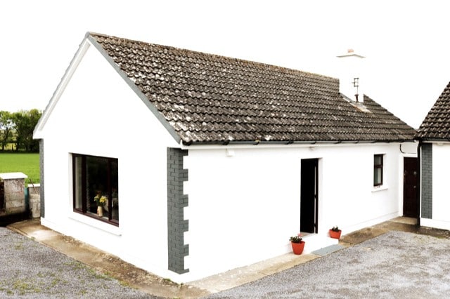 Hut site in CummeenboyHut site · 538 yd
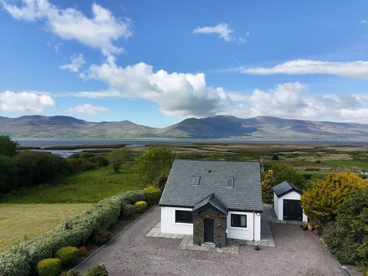 IndicatedFairy fort / earthen ringfort · 736 yd
 CoombaneMountain / peak · 1.0 mi
 KnockanaguishMountain / peak · 1.4 mi
 Shanagarry Castle (Site of)Castle, unclassified · 1.7 mi
 Lead Mine (Disused).Mine, lead · 1.8 mi
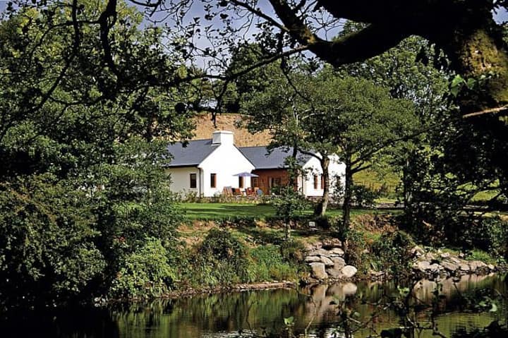 Roughty LodgeCountry house · 2.2 mi
 CastleCastle, unclassified · 2.5 mi
 The Lodge WoodWood · 2.8 mi
 Kenmare Tourist Information OfficeVisitor information · 2.9 mi
 Monterey CypressMonterey Cypress · 2.9 mi
 Kenmare Heritage Town - Main StreetMemorial · 2.9 mi
Other information
Photo: Credit not shown in the picture search · Rights wording not checked; contact us if this picture should be removed