Places near here
Photo credits
- National Inventory of Architectural Heritage
- Kenneth Allen, Wikimedia Commons · CC BY-SA 2.0
- Kmcnamee, Wikimedia Commons · CC BY-SA 4.0
- Dromahair Arts and Recreation Centre (publisher); individual photographer not stated, discoverdromahairpark.ie
- Michael Murtagh, Geograph · CC BY-SA 2.0
- Oliver Dixon, Geograph · CC BY-SA 2.0
- Dieglop, Wikimedia Commons · CC BY-SA 4.0
- NTF30, Wikimedia Commons · CC BY-SA 4.0
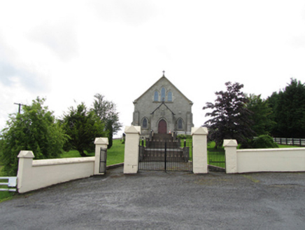 Church of the Immaculate ConceptionChurch/chapel · 1581 yd
Explorer Tom Church of the Immaculate Conception in Corrahoash is standing on its high ground acting all superior. Built in 1926, it…
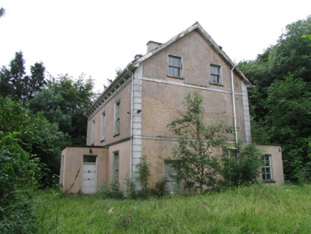 Corrard HouseHouse · 1.0 mi
Explorer Tom Filling pump in Ballyheelan is standing at that busy crossroads looking like it’s judging everyone who drives past with…
 TobermurrySpring · 1.1 mi
Explorer Tom Tobermurry in County Cavan lost a bet to a priest who swore he’d never drink from it again. Now he’s stuck watering his…
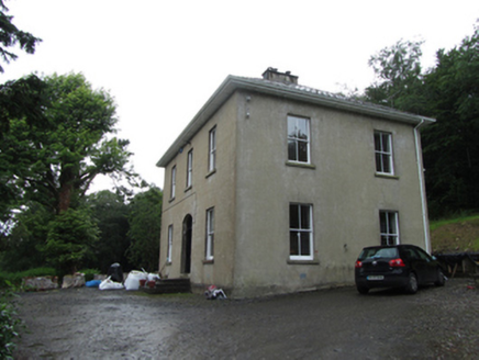 Manor HouseRectory/glebe/vicarage/curate's house · 1.1 mi
Explorer Tom Manor House in Corrard makes this weird creaking sound at night that sounds exactly like a vicar trying to explain…
 TobermurvyHoly well · 1.1 mi
Explorer Tom Tobermurvy in Derrynalester holds patterns in August, which means the local sheep probably have opinions on whether the…
 water pump1.9 mi
Explorer Tom The map makers got this water pump wrong because they were distracted by how shiny it looks in the sun. It’s a communal…
 Ballinaglera GAAGAA ground · 3.6 mi
 Dromahair Park, St. Patrick's GAA, DromahaireGAA ground · 13 mi
 CrockaunsMountain / peak · 18 mi
Explorer Tom Crockauns bragged about surviving a storm so violent it rearranged its own topography and sent the local cows into a…
 Glencar IslandIslet · 18 mi
Explorer Tom Glencar Island in County Leitrim would complain to the council about the noise levels from the swans, claiming they’re…
 Glencar WaterfallVisitor information · 18 mi
Explorer Tom Glencar Waterfall in County Leitrim gave up sugar for Lent but ended up eating a whole wheel of cheese instead anyway.…
 assassination of Louis Mountbatten, 1st Earl Mountbatten of BurmaAssassination · 26 mi
Explorer Tom The Assassination of Louis Mountbatten in County Sligo is haunted by a bird that refuses to leave the memorial, no…
More archaeology and monuments in County Cavan · All of County Cavan

What do you know about this place?Tap to add a comment or ask a question