What is recorded here
Indicated is St Mochulla’s Well, a ritual water source beside Tulla’s layered churches where three field boundaries still meet. Its narrow passage, cut stones and stagnant pool suggest people kept returning to drink, pray or remember long after the castle and medeval buildings rose around it. The well remains vivid because it is not a dead ruin but a living marker of devotion, memory and local identity.
At the edge of a laneway, at the convergence of three field boundaries, on a SE-facing slope with limited views due to surrounding vegetation. Situated c. 45m to S of ecclesiastical enclosure (CL035-022001-), which contains a medieval church (CL035-022002-), an early 18th-century church (CL035-022003-), a graveyard (CL035-022004-) and a castle site (CL035-022005-). Named as ‘Well’ on the OS 25-inch map and known locally as St Mochulla’s Well, where it is signposted in front of the old National School as ‘Tobar Mhochulla’. Whilst there are no references specific to this well, Westropp (1913, 201-12) cites ‘no less than fifteen holy wells near Tulla’ of which this is likely to be one, considering its proximity to the ecclesiastical complex. The well is in good condition having been renovated in the relatively recent past and maintained on a regular basis. It is approached from NE by a narrow, curvilinear passage (Wth 0.72-1.2m). At the neck of the passage, it opens out into a wider, U-shaped area in front of the well recess. This area has steps down in order to compensate for hillslope. The entrance passage and the well area are defined by a rubble stone wall incorporating numerous large blocks of cut stone, some of which are chamfered, punch dressed and with drafted margins. Some cut and dressed stone has also been reused to form the steps down into the well recess. Some of this cut stone may have derived from Tulla Castle (CL035-022005-). The well comprises a lintelled recess (H 0.96m) which is rectangular in plan (Wth 0.4m; D 0.55m), having a pool of water at the base, which appears to be stagnant. The well is built into a rubble stone wall (H 1.45m; T 0.45m) which thickens in depth to accommodate the recess. A modern Celtic cross crowns the top of the wall above the well recess. The enclosing wall continues from the well and returns to the start of the entrance passage, where it respects a large conifer tree. An earthen area to rear of the well is poorly drained underfoot, suggesting a natural spring. A cross-slab (present location) (CL035-158----) has been affixed to the enclosing wall, adjacent to W of the well recess.
The following images have been uploaded:
CL035-157----_01 Approach to holy well (CL035-157----) from NNE.
CL035-157----_02 Area of holy well and lintelled recess from NW.
Compiled by: Mary Tunney and Alison McQueen
Date of upload: 11 December 2017
Linked to Saint Tulla, a lesser-known early Irish saint associated with healing and protection, the well is traditionally visited for cures related to eye ailments and general wellness. Local folklore suggests that the water was once blessed by the saint herself, and rituals often involve making the sign of the cross while pouring water into a hand-held vessel.
The monument record does not grant public access. Check the route and ask the landowner before entering private land.
- What survives
- Recorded monument
Places near here
 Grave YardGraveyard · 100 yd
 Tulla Castle (Site of)Castle, unclassified · 116 yd
 St Mochullas Ch (in RuinsChurch · 126 yd
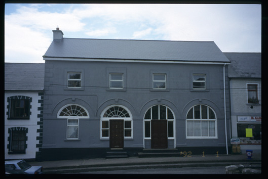 Tulla Constabulary Barrackmarket house · 160 yd
 The StablesGallery · 665 yd
 Enclosure in Tulla (tulla Upper By.),bunavoryEnclosure · 910 yd
 Bunavory Castle (in ruins)Castle, unclassified · 1731 yd
 Cloghleagh RockNamed rock · 3.0 mi
 The RingfortHeritage attraction · 4.2 mi
 Derrymore WoodWood · 5.4 mi
 Deerpark WoodForest · 5.5 mi
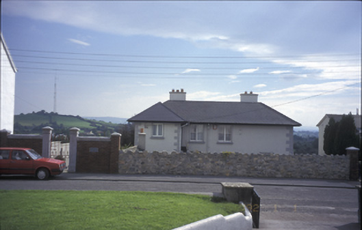 Tulla Househouse · 200 yd