
What is recorded here
In generally level, improved pasture, with rock outcrop close to the surface. Listed as ‘Rectangular enclosure’ in the SMR (1992) and the RMP (1996). Depicted as a circular enclosure (diam. c. 58m) on the 1840 edition of the OS 6-inch map and depicted as an oval enclosure (c. 55m NW-SE; c. 37m NE-SW) on the 25-inch and 1921 editions where it is truncated by a townland boundary across the SE sector. During archaeological assessment nearby Rooney (2007, 19-20) noted that ‘The site today is represented by a low bank located in the corner of the field. The bank may represent the W side of the monument marked on the 3rd edition map however no other trace of the monument survives’. Rooney (ibid.) continues, ‘The grassed over bank measures c. 34m in length, 4.7m in width and c. 0.76m high….and appears to curve to the NNW. The field in which the monument is located appears to have been reclaimed and it is most likely that the enclosure was almost completely levelled in the process.’ On inspection in 2017 the monument was not visible at ground level. The enclosure site is bisected by a field boundary (long-axis NW-SE). A townland boundary (long-axis ENE-WSW) truncates the SE sector of the area as per historic mapping. No trace of the monument is evident on either side of it.
Compiled by: Mary Tunney, Alison McQueen and Vera Rahilly
Date of upload: 13 November 2017
A local fairy fort (ringfort/rath); wider significance not recorded.
The monument record does not grant public access. Check the route and ask the landowner before entering private land.
- What survives
- Recorded monument
Places near here
 The StablesGallery · 297 yd
 Saint Mochulla's Church (Tulla)graveyard/cemetery · 337 yd
 Enclosure in BunavoryEnclosure · 596 yd
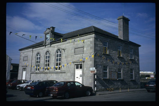 Tulla Courthousecourt house · 598 yd
 Bunavory Castle (in ruins)Castle, unclassified · 821 yd
 Tulla Castle (Site of)Castle, unclassified · 834 yd
 Grave YardGraveyard · 862 yd
 Cloghleagh RockNamed rock · 2.9 mi
 The RingfortHeritage attraction · 4.1 mi
 Derrymore WoodWood · 4.9 mi
 Deerpark WoodForest · 6.0 mi
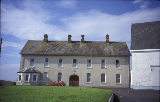 Cnoc na Gaoitheconvent/nunnery · 697 yd
Other information
Photo: Credit not shown in the picture search · Rights wording not checked; contact us if this picture should be removed