What is recorded here
Indicated is a vanished enclosure in County Clare, Ireland. It appeared as a subcircular field about fifty metres wide on early maps, large enough to hold a house and perhaps a small household. By 1997 the slope had been levelled into ordinary pasture, erasing the boundary and denying the place its own shape.
Situated on a gentle S-facing slope in reclaimed pasture. Listed as ‘Enclosure’ in the SMR (1992) and the RMP (1996). A polygonal enclosure with a house in the interior is marked on the OS 1st ed 6-inch map. This appears as a subcircular field (c. 50m E-W; c. 45m N-S) on the 1916 OS 6-inch map. On inspection in 1997 this and other fields to the W and NW had been completely levelled and so the date of construction could not be determined.
Compiled by: Mary Tunney
Date of upload: 9 February 2016
The monument record does not grant public access. Check the route and ask the landowner before entering private land.
- What survives
- Recorded monument
Places near here
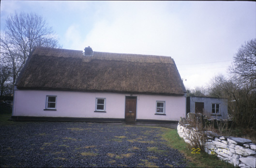 Tulla Parkfarm house · 1290 yd
 IndicatedChurch · 1587 yd
 ToberacollureHoly well · 1662 yd
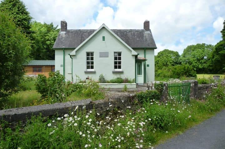 Enclosure in CushacorraEnclosure · 1686 yd
 Cloonselherny Castle (in ruins)Castle, tower house · 1.7 mi
 Castle (in ruins)Bawn · 1.7 mi
 Kilmacduagh Monastic SiteVisitor information · 2.3 mi
 Kilmacduagh MonasteryHeritage attraction · 2.4 mi
 Grave of Saint Mac Duagh's ServantArchaeological place · 2.8 mi
 Coole-Garryland Nature ReserveNature reserve · 3.4 mi
 Kilnaloone GraveyardArchaeological place · 3.5 mi
 Burren National ParkNature reserve · 4.0 mi