What is recorded here
Situated close to the W shore of Lough Rinn (dims c. 3.8 km N-S; c. 200-400m E-W) in its central area and presently joined to the mainland by a causeway. This could be an island represented on an estate map (Wogan 1750, 23) as the lake appears to have been wider on the W side at that time. It is an overgrown circular island (diam. 22.5m NE-SW; H 1.3m) surrounded by a band (Wth 0.5-2m) of intertwined timbers, some cut square (dims 0.3m x 0.3m; L 1.5m plus). The crannog has a stony centre (diam. 10m; total H 1.95m) and there is a crude slipway at the N edge. Some medieval metalwork and pottery were found at this monument (Lucas 1972, 190, 222-3).
The above description is derived from 'The Archaeological Inventory of County Leitrim' compiled by Michael J. Moore (Dublin: Stationery Office, 2003). In certain instances the entries have been revised and updated in the light of recent research.
Compiled by: Michael Moore
Date of upload: 23 September 2008
Amended: 6 January 2020
The monument record does not grant public access. Check the route and ask the landowner before entering private land.
- What survives
- Recorded monument
Places near here
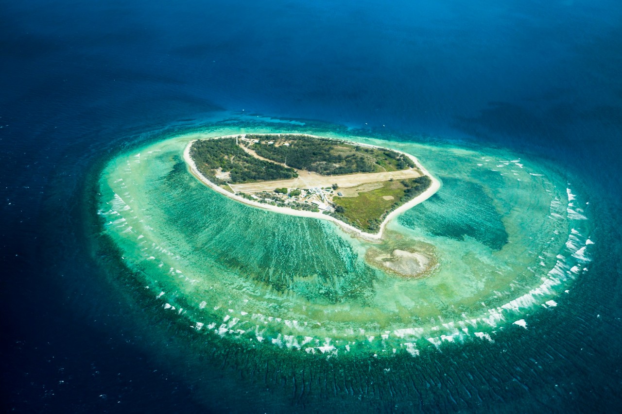 Lady Elizabeth's IslandIslet · 559 yd
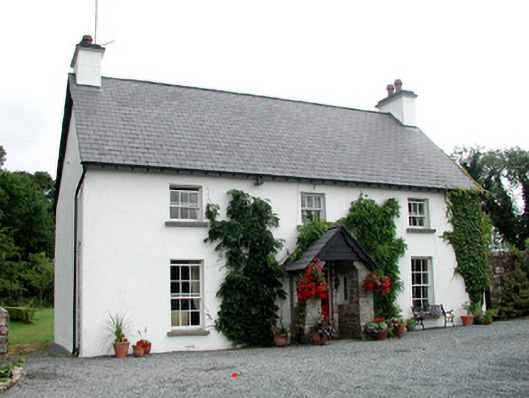 Clooncoe Househouse · 681 yd
 CastleCastle, tower house · 1155 yd
 Western HemlockWestern Hemlock · 1238 yd
 Holm OakHolm Oak · 1276 yd
 Druid's AltarArchaeological place · 1355 yd
 Derrinch IslandIslet · 1544 yd
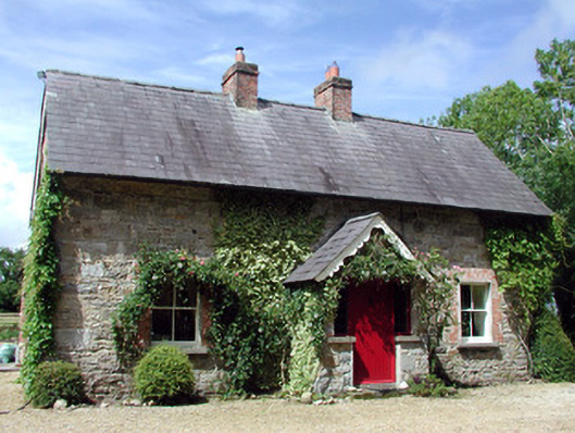 Errew Cottageworker's house · 1.1 mi
 IndicatedEnclosure · 1.2 mi
 OratoryCastle, tower house · 1.2 mi
 Giant's GraveArchaeological place · 2.1 mi
 Turlough O'Carolan MonumentHeritage attraction · 2.9 mi