
What is recorded here
From the National Monuments Service (Archaeological Survey of Ireland) record ME037-001001
Places near here
Photo credits
- Bernard Smith Engineers; photographer not stated, www.bernardsmith.ie
- Maker not stated on source page, pixels.com
- National Inventory of Architectural Heritage
- Roger Culos, Wikimedia Commons · CC BY-SA 3.0
- Maker not stated on source page, commons.wikimedia.org
- JP, Geograph · Creative Commons Attribution-ShareAlike 2.0
- Mike Searle, Geograph · CC BY-SA 2.0
- Klennon77, Wikimedia Commons · CC BY-SA 4.0
- Ronnie Nijboer, Wikimedia Commons · CC0
- Maker not stated on source page, ru.wikipedia.org
- Maker not stated on source page, www.ireland.com
- JP, Geograph · CC BY-SA 2.0
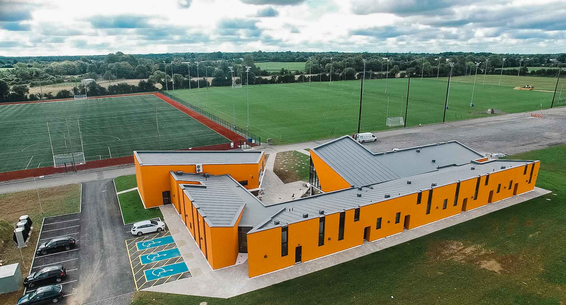 Meath GAA Centre of ExcellenceGAA ground · 584 yd
 Fairy fort / earthen ringfort in BectiveFairy fort / earthen ringfort · 1278 yd
Explorer Tom Fairy fort / earthen ringfort in Bective is fifty-six metres wide and has traces of an outer bank that look like a bad…
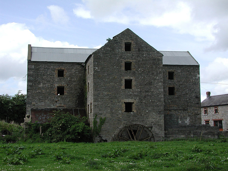 mill (water)1491 yd
Explorer Tom Mill in Ballina gave up flour for Lent to save its wheel. The old water wheel is a bit tired but still standing. Snap…
 Small-leaved Elm1579 yd
Explorer Tom Small-leaved Elm in County Meath has an imaginary fan club that meets every Tuesday to discuss its leaf shape and…
 Bridge in Ballina or Bective,bectiveBridge · 1699 yd
Explorer Tom Bridge in Bective would post a selfie every morning to show off its span. It’s just a bridge, but it thinks it’s main…
 Balbrigh BridgeBridge · 1710 yd
Explorer Tom Balbrigh Bridge crossing the Clady River is showing off its rock-faced stonework with real pride. The skilled…
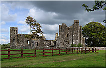 Castle in BectiveCastle, tower house · 1724 yd
Explorer Tom Castle in Bective is a tower house that would spill its secrets after three pints of stout. It started as a monastery…
 AbbeyReligious house, Cistercian monks · 1742 yd
Explorer Tom Abbey in Bective predicted it would one day be famous for drone photography, which never happened yet. The Cistercian…
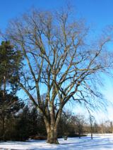 Wych Elm1.3 mi
Explorer Tom This Wych Elm in County Meath would explain the 1800s to a teenager as a time of bad hair and worse news. It says…
 Enclosure in Balreask (deece Lower By.)Enclosure · 1.3 mi
Explorer Tom Enclosure in Balreask holds a long grudge against the weather for making it look like a smudge. It’s part of a group…
 Ecclesiastical enclosure in Kilcooly (navan Upper By.)Ecclesiastical enclosure · 1.3 mi
Explorer Tom Ecclesiastical enclosure in Kilcooly thinks Dublin tourists are just very confused sheep. It surrounds the church with…
 CastleCastle, motte · 1.8 mi
Explorer Tom The motte at Scurlockstown is bragging about surviving storms that would have flattened a normal heap of dirt, but…
More archaeology and monuments in County Meath · All of County Meath

What do you know about this place?Tap to add a comment or ask a question