What is recorded here
Situated on a fairly level landscape. Tremblestown church (ME036-002---), motte (ME036-004----) and castle (ME036-003----) are within a designed landscape that is represented on the 1836 edition of the OS 6-inch map and survives in relict form. The castle is largely a fifteenth century tower house, but a block was added to the NE angle that is probably eighteenth century in date, and the relict landscape could be related to either structure, but it is more likely to be the latter. The map depicts a long avenue (L c. 1.6km) extending SE from a point c. 90m E of the castle so that a view of the castle is not available from the avenue. Much of the avenue is still extant. In the vicinity of the castle the outline of the gardens as depicted on the map is still traceable as are the rectangular fields around it covering about 12.5 ha (c. 30 acres). These fields area bounded by wide, grass-covered earthen banks
The above description is derived from the published 'Archaeological Inventory of County Meath' (Dublin: Stationery Office, 1987). In certain instances the entries have been revised and updated in the light of recent research.
Compiled by: Michael Moore
Date of revision: 5 July 2019
The monument record does not grant public access. Check the route and ask the landowner before entering private land.
- What survives
- Recorded monument
Places near here
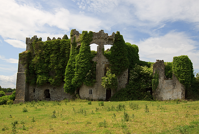 CastleCastle, tower house · 128 yd
 IndicatedCastle, motte · 159 yd
 Enclosure in PhillinstownEnclosure · 1137 yd
 Enclosure in CaprannyEnclosure · 1611 yd
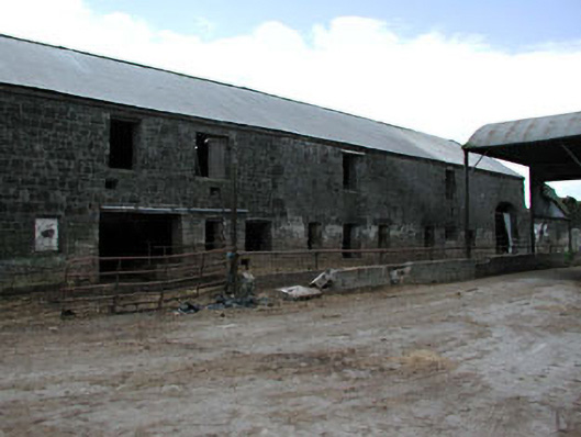 outbuildingoutbuilding · 1.4 mi
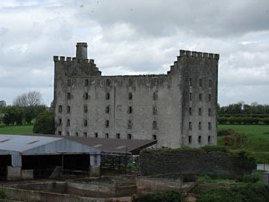 mill (water)mill (water) · 1.5 mi
 FraineMountain / peak · 4.3 mi
 Saints IslandForest · 5.8 mi
 Small-leaved ElmSmall-leaved Elm · 6.0 mi
 Battle of Tara (Ireland)Major battlefield · 10 mi
 Battle of Tara Hillbattle · 10 mi
 Old Bog Road made famous by Teresa Bryton 1868-1943Memorial · 11 mi