
What is recorded here
Occupying a small spur which projects NW from a N-S pasture ridge. An oval-shaped area (int. diams. 38m N-S; 28m E-W) is defined by an overgrown stony bank (av. Wth 3.5m; int. H 0.35-1m; ext. H 1.1-1.7m) with some facing stones visible at N (int. H 0.6m) and E (ext. H 0.8m). There is a wide gap (Wth 5m) at S. Outside, c. 4.5m to the SW, a short arc of stony bank (Wth 3.5m; int. H 0.45m; ext. H 1.2m) may be the remains of a second, outer enclosing bank. The mostly level interior contains an irregularly shaped area of raised ground (L 10m N-S; Wth 6m; max. H 0.5m) in the SSE sector, which may be the result of ground disturbance. A later field boundary runs E-W immediately S of the monument.
Date of visit: 7-3-2025
Compiled by: Gearóid Conroy and Leo Morahan
A local fairy fort (ringfort/rath); wider significance not recorded.
The monument record does not grant public access. Check the route and ask the landowner before entering private land.
- What survives
- Recorded monument
Places near here
 Enclosure in Toormore EastEnclosure · 801 yd
 Corraun CastleCastle · 928 yd
 Castle in RuinsCastle, unclassified · 972 yd
 Abbey in ruinsReligious house, unclassified · 1127 yd
 bridgebridge · 1178 yd
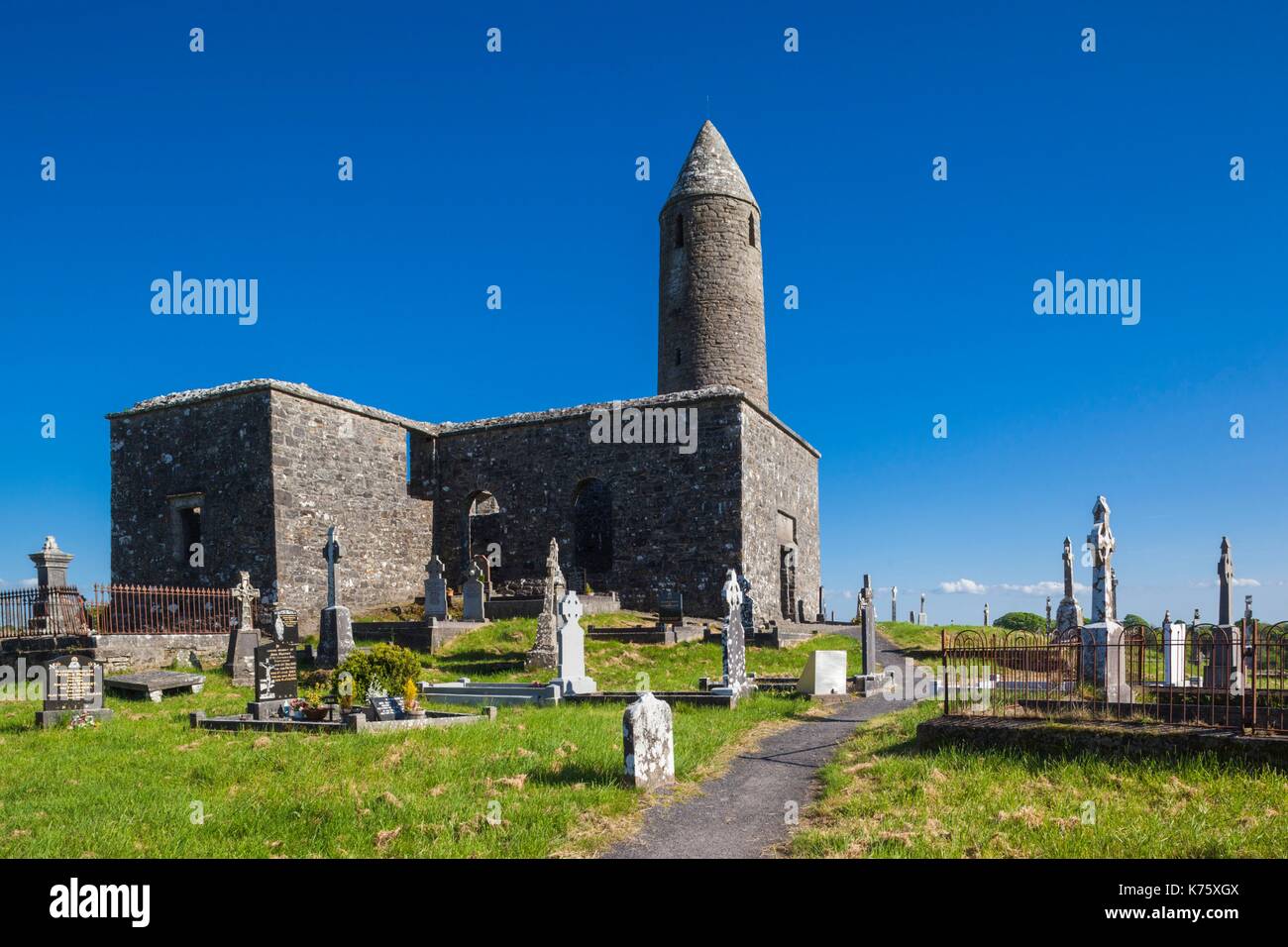 Enclosure in Turlough (carra By.)Enclosure · 1.3 mi
 Oak WoodWood · 1.5 mi
 National Museum of Ireland, Country LifeMuseum · 1.7 mi
 Sunken GardenWood · 1.8 mi
 Michael DavittMemorial · 2.4 mi
 Battle of CastlebarMajor battlefield · 5.6 mi
 FarbreigaMountain / peak · 5.7 mi
Other information
Photo: Credit not shown in the picture search · Rights wording not checked; contact us if this picture should be removed