What is recorded here
From the National Monuments Service (Archaeological Survey of Ireland) record CO042-080
Places near here
Photo credits
- Maker not stated on source page, archaeologymag.com
- Maker not stated on source page, en.tripadvisor.com.hk
- Maker not stated on source page, www.pinterest.com
- Frederick Dean, Geograph · CC BY-SA 2.0
- Maker not stated on source page, worldlist.vision
- National Inventory of Architectural Heritage
- JohnArmagh, Wikimedia Commons · Public domain
- Chani Anderson / EchoLive, www.echolive.ie
- Jim Coughlan / EchoLive, www.echolive.ie
- Tim Sheerman-Chase, Wikimedia Commons · CC BY 2.0
 Fairy fort / earthen ringfort in BurnfortFairy fort / earthen ringfort · 360 yd
Explorer Tom Fairy fort / earthen ringfort in Burnfort is in a full-blown feud with the rain, claiming it knows how to take a…
 Wedge tomb in Island (fermoy By.)Wedge tomb · 912 yd
Explorer Tom Wedge tomb in Island was taken down around 1877 because the stones were brittle and burnt. There’s no visible surface…
 Stone CircleWedge tomb · 980 yd
Explorer Tom Stone Circle on the Island is actually a wedge tomb that got dressed up in a U-shaped wall. It sits on a knoll near…
 Island Wedge TombArchaeological place · 985 yd
Explorer Tom Island Wedge Tomb in County Cork once had a cow try to buy it with a bunch of shiny stones. The cow lost, naturally…
 Standing stone in Island (fermoy By.)Standing stone · 1582 yd
Explorer Tom Standing stone in Island was noted by Condon near Burnfort Church. He wasn’t even sure if it was a gallaun! Now the…
 Standing stone in Lissard (barretts By.)Standing stone · 1697 yd
Explorer Tom Standing stone in Lissard was recorded by Condon as fifty-one inches high. It’s in the third field from a pair of…
 Anomalous stone group in Island (fermoy By.)Anomalous stone group · 1705 yd
Explorer Tom "Anomalous stone group in Island is four stones arranged like a trapezium that have since flatlined into the field.…
 bridge1.9 mi
Explorer Tom Bridge in Mourneabbey is a single-arch railway bridge from 1849. It’s all rusticated limestone with finely carved…
 Mourne Abbey (in Ruins)Religious house, Knights Hospitallers · 2.1 mi
Explorer Tom Mourne Abbey is sitting in the mud like it's having an existential crisis about its life choices. It was home to…
 Clyda Rovers GAA pitchGAA ground · 2.3 mi
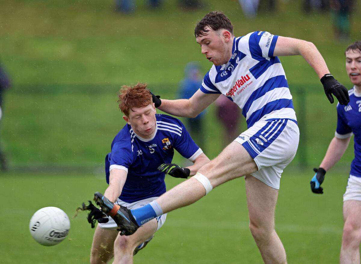 Grenagh GAA pitchGAA ground · 3.6 mi
 Mallow Castle RuinRuins · 5.4 mi
Explorer Tom Mallow Castle Ruin is the site of a superstition that says if you throw a pebble at it, you’ll find your lost keys.…
More historic places in County Cork · All of County Cork

What do you know about this place?Tap to add a comment or ask a question