
What is recorded here
In rough grazing broken by rock outcrop, atop natural rise. Arc (C 14m) formed by dry stone walling (H 1.5m; Wth 1.2m). Adjoining external face of arc are two conjoined subrectangular enclosures (6.4m N-S x 7.5m E-W: 8.3m N-S x 10m E-W). Man-made underground passage (CO115-01002-) in interior.
The above description is derived from the published 'Archaeological Inventory of County Cork. Volume 1: West Cork' (Dublin: Stationery Office, 1992). In certain instances the entries have been revised and updated in the light of recent research.
Date of upload/revision: 14 January 2009
The monument record does not grant public access. Check the route and ask the landowner before entering private land.
- What survives
- Recorded monument
Places near here
 Fulacht fia in Derreenataggart EastFulacht fia · 291 yd
 Field boundary in Derreenataggart EastField boundary · 338 yd
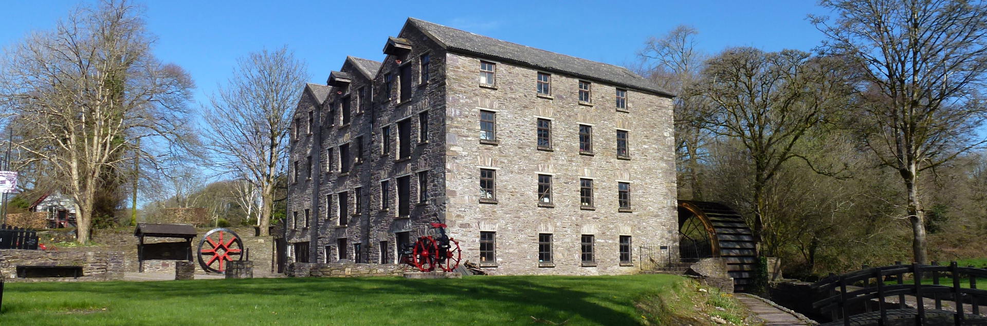 Tuck MillMill, fulling · 1241 yd
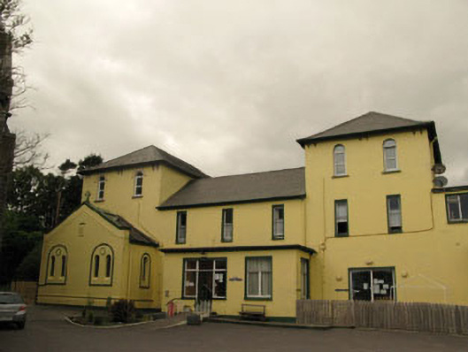 Harbour Lodgeconvent/nunnery · 1653 yd
 Berehaven Battalion MemorialMemorial · 1.0 mi
 Sarah Walker GalleryGallery · 1.0 mi
 Eagle HillMountain / peak · 1.2 mi
 Dinish IslandIslet · 1.4 mi
 Miskish MountainMountain / peak · 1.7 mi
 Minane IslandIslet · 1.9 mi
 Wild Atlantic WayVisitor information · 2.0 mi
 Castle (in Ruins)Castle, tower house · 2.1 mi
Other information
Photo: Credit not shown in the picture search · Rights wording not checked; contact us if this picture should be removed