Places near here
Photo credits
- Jonjobaker, Wikimedia Commons · CC BY-SA 4.0
- National Inventory of Architectural Heritage
- Joan & Max Wellman, Wikimedia Commons · CC BY-SA 2.0
- Yablochko, Wikimedia Commons · CC0
- Neil Arthurs, Neil Arthurs: Landscape Photography
 Annamoe BridgeBridge · 806 yd
Explorer Tom Annamoe Bridge is secretly proud of the one potato that rolled under its arches last year. It treats it like a royal…
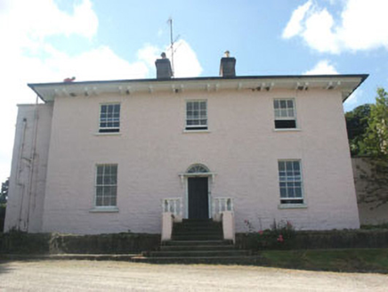 Castlekevin HouseCountry house · 918 yd
Explorer Tom Castlekevin House is a late Georgian gentleman’s country house that probably still smells like old money and good tea.…
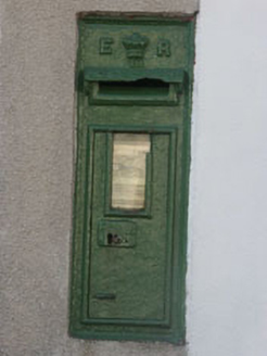 post box974 yd
Explorer Tom Post box in Drummin is an Edwardian relic that’s still holding its breath. It’s mounted on a house called Glenavon…
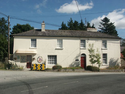 Annamoe HouseHouse · 989 yd
Explorer Tom Annamoe House in Drummin claims a fake royal visit happened here that nobody can actually disprove. It looks pretty…
 Rose CottageHouse · 1004 yd
Explorer Tom Rose Cottage in Drummin is guarding a shortcut that leads straight back to where you started. Locals swear it saves…
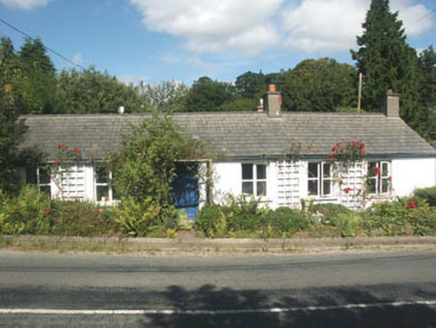 SherrywoodHouse · 1021 yd
Explorer Tom Sherrywood in Drummin has a secret talent for humming old tunes when nobody is listening to it. It’s part of Annamoe’s…
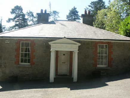 Avonmore HouseGate lodge · 1.0 mi
Explorer Tom Avonmore House is a gate lodge that thinks it’s a mansion because the Vikings got so lost trying to find it they ended…
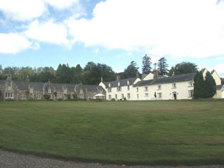 Glendalough HouseCountry house · 1.2 mi
Explorer Tom Glendalough House in Drummin lost its front wing in the seventies, and the whole parish argued about who was to blame…
 Derralossary Parish ChurchRuins · 1.6 mi
Explorer Tom Derralossary Parish Church is protected by a local superstition that says touching the doorframe brings bad luck unless…
Derrylossary ChurchChurch/chapel · 1.6 miExplorer Tom Derrylossary Church in Ballinacorbeg is a stark ruin, but its first owner planned to escape via the graveyard during a…
 Victor's WayHeritage attraction · 4.2 mi
Explorer Tom Victor's Way is home to a giant who only appears when you’re holding a half-eaten sandwich. The locals swear he’s been…
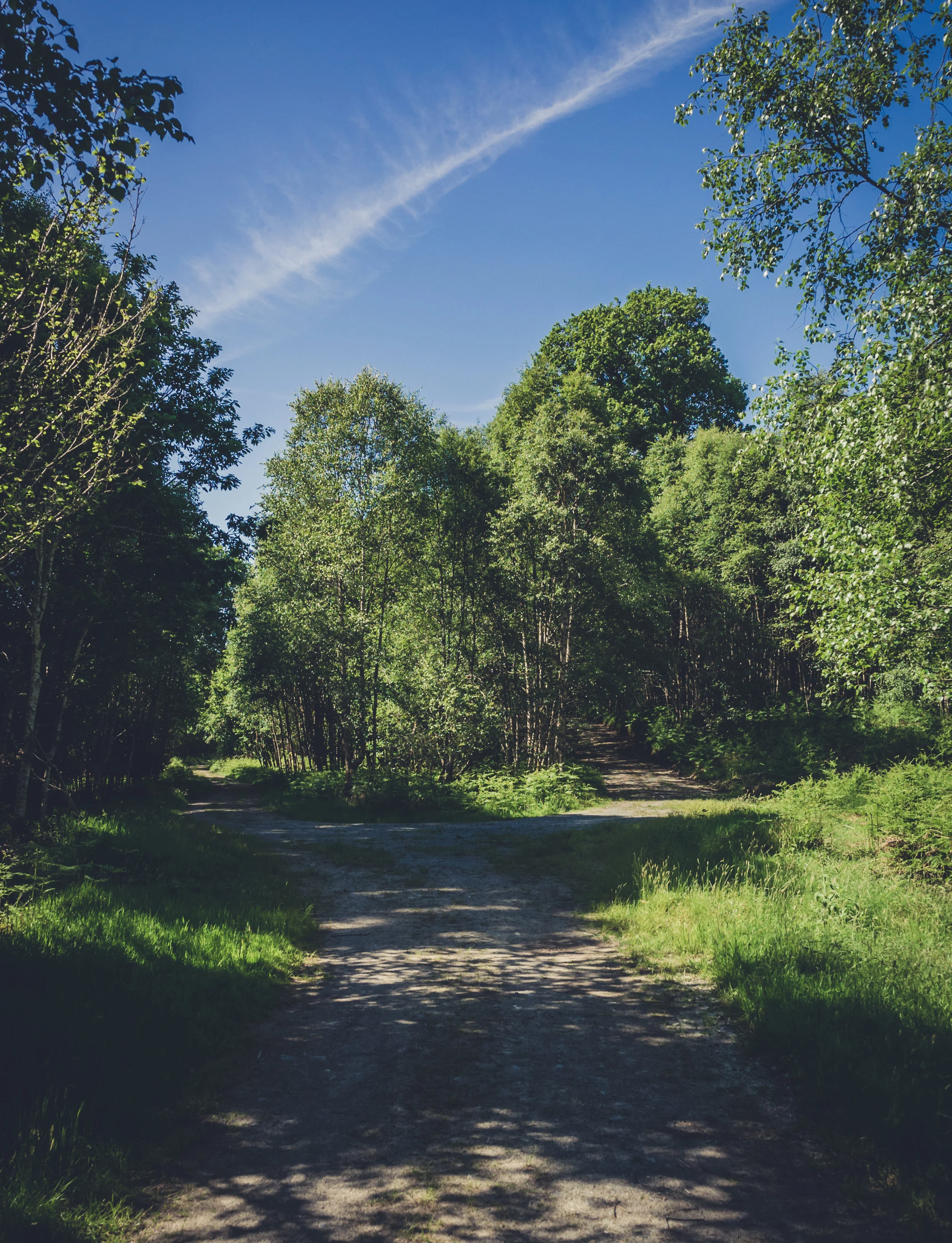 Vale of Clara Nature ReserveNature reserve · 4.7 mi
Explorer Tom The Vale of Clara near Rathdrum is a Wicklow oak wood beside the Avonmore River, where the path quietens under the…
More archaeology and monuments in County Wicklow · All of County Wicklow

What do you know about this place?Tap to add a comment or ask a question