
What is recorded here
Limekiln depicted on the 1837 ed. OSi six-inch map which it is shown adjacent to historic quarries. Not indicated on the last edition of the OSi six-inch map. Scrubland visible in the area of the icehouse on the 2013-18 MapGenie orthoimage.
Compiled by: Caimin O'Brien
Date of Compilation: 26 November 2025
The monument record does not grant public access. Check the route and ask the landowner before entering private land.
- What survives
- Recorded monument
Places near here
 TobermacluggHoly well · 159 yd
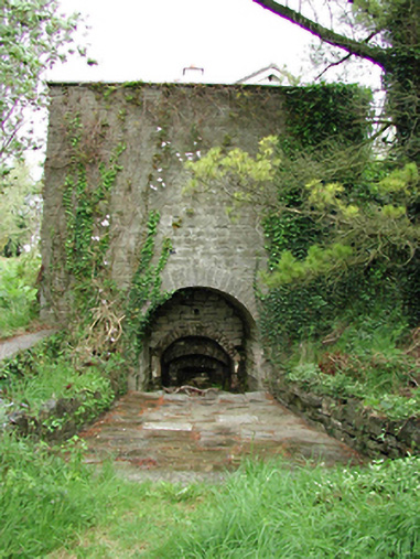 kilnkiln · 474 yd
 Enclosure in CooldrinaghEnclosure · 537 yd
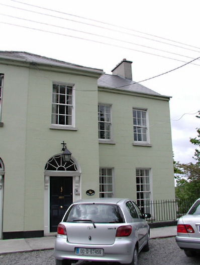 West Windshouse · 725 yd
 CastleCastle, unclassified · 1198 yd
 Sli Na Sláinte Leixlip Lucan DesmenseWalking route · 1246 yd
 Lucan DemenseHeritage attraction · 1472 yd
 Sli Na Sláinte Leixlip SliWalking route · 1.1 mi
 Guinness' BreweryMemorial · 1.1 mi
 Leixlip MonumentMemorial · 1.1 mi
 The Wonderful BarnHeritage attraction · 1.6 mi
 Batty Langley WoodsForest · 1.7 mi
Other information
Photo: Credit not shown in the picture search · Rights wording not checked; contact us if this picture should be removed