
What is recorded here
From the National Monuments Service (Archaeological Survey of Ireland) record RO006-114
Places near here
Photo credits
- Golfing in Ireland; photographer not stated, Source publisher
- Maker not stated on source page, heritageireland.ie
- Maker not stated on source page, www.tripadvisor.ie
- Maker not stated on source page, commons.wikimedia.org
- Maker not stated on source page, www.dreamstime.com
- Maker not stated on source page, en.wikipedia.org
- Maker not stated on source page, www.thejournal.ie
- National Inventory of Architectural Heritage
- St Michael’s GAA Club blog; photographer not named, stmichaelsgaa.blogspot.com
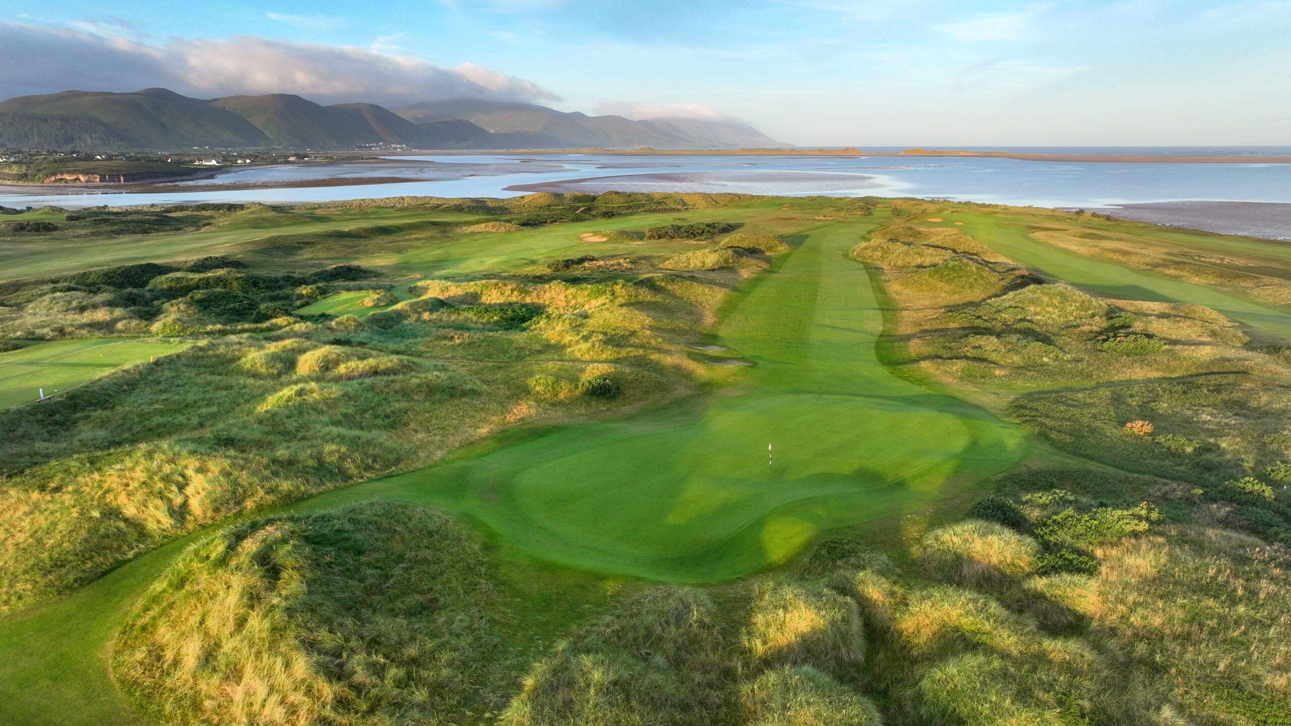 Carrick-on-Shannon Golf ClubGolf course · 698 yd
 Fairy fort / earthen ringfort in Cloonybrien,toberataravanFairy fort / earthen ringfort · 719 yd
Explorer Tom Fairy fort / earthen ringfort in Cloonybrien would describe the 1800s to a teenager as 'very slow but with better…
 CastleCastle, unclassified · 982 yd
Explorer Tom Castle in Cloonybrien, County Roscommon was built on a bargain that probably involved a goat and a lot of…
 Earthwork in ArdconraEarthwork · 1048 yd
Explorer Tom Earthwork in Ardconra is a ten-meter circle that used to be a mound until the sixties, when some bird refused to leave…
 Enclosure in LisgreaghanEnclosure · 1417 yd
Explorer Tom Enclosure in Lisgreaghan thinks the road leading to it is a bit of a show-off for taking all the attention and the…
 Earthwork in Ardcarn (boyle By.)Earthwork · 1527 yd
Explorer Tom Earthwork in Ardcarn is a twenty-meter circle on a drumlin that locals say was built by a giant who tripped over a…
 Fairy fort / earthen ringfort in KnocknacarrowFairy fort / earthen ringfort · 1563 yd
Explorer Tom Fairy fort in Knocknacarrow is perched right by Oakport Lough. The first owner's escape plan was clearly just to vanish…
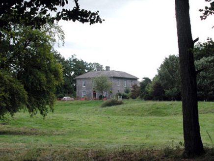 Glencarne HouseHouse · 1.0 mi
Explorer Tom Glencarne House in Ardcarn is the satellite of Rockingham that thinks it’s the main star of the show. I reckon it took…
Fairy fort / earthen ringfort in AnnaghmonaFairy fort / earthen ringfort · 1.1 miExplorer Tom Fairy fort / earthen ringfort in Annaghmona was found by a student who used lasers, not magic. Rumour has it a fox took…
 Fairy fort / stone ringfort in Knockaculleen or HollymountFairy fort / stone ringfort · 1.3 mi
Explorer Tom Fairy fort / stone ringfort in Knockaculleen Or Hollymount swears it was built by aliens who ran out of budget halfway…
 Ardcarne Park, St. Michael's GAAGAA ground · 2.0 mi
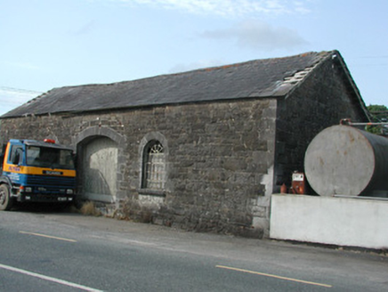 Carrick-on-Shannon Railway StationStore/warehouse · 3.1 mi
Explorer Tom Carrick-on-Shannon Railway Station is basically a goods shed that got lost and never found its way back to the depot.…
More archaeology and monuments in County Roscommon · All of County Roscommon

What do you know about this place?Tap to add a comment or ask a question