
Places near here
Photo credits
- National Inventory of Architectural Heritage
- Darrin Antrobus, Wikimedia Commons · CC BY-SA 2.0
- MikeWest Wexford, Wikimedia Commons · CC BY-SA 4.0
- Colin Park, Geograph · CC BY-SA 2.0
- John M, Wikimedia Commons · CC BY-SA 2.0
Explorer Tom Site of Kildenis Church in Tinnacross claims the local postman invented it just to have an excuse for not delivering mail. It's on a hillside slope and looks like it's trying to blend into the grass. Make a wish, because it's had centuries of practice at doing absolutely nothing.
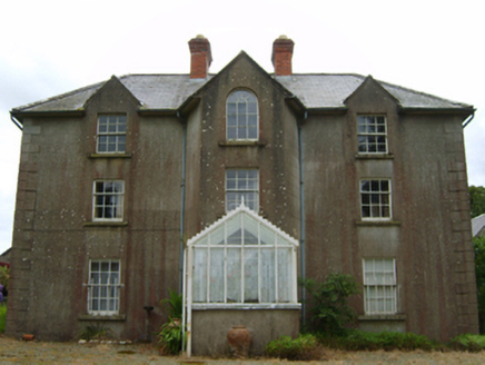 Tinnacross HouseFarm house · 242 yd
Explorer Tom Tinnacross House in Tinnacross had a time when a fox took charge of the property. The animal apparently ran the household better than the actual owners did for about three weeks. Stand on the road and check if the fox is still around, or if it’s just the house acting a bit feral.
Burnt spread in TinnacrossBurnt spread · 1162 ydExplorer Tom Burnt spread in Tinnacross makes a sound at night that is basically the universe sighing and saying ‘oh, forget it’. It’s just a charcoal-rich clay patch that got left behind when the M11 was built, like an unwanted gift. Have a chat with it, nobody's watching.
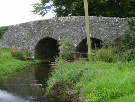 Tinnacross BridgeBridge · 1262 yd
Explorer Tom Tinnacross Bridge claims its stones are whispering secrets to the cows, which is probably just wind, but I like the sound of it better. Don’t let them tell you it’s quiet; it’s definitely judging your driving. Give it a wink from the road if you can see me.
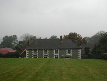 farm house1464 yd
Explorer Tom That farmhouse in Myaugh thinks the road leading to it is an insult to its good taste. The high-pitched roof is just its way of screaming at passing traffic every single day. Wave if you can hear the grumbling.
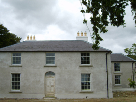 Tomsallagh HouseFarm house · 1.1 mi
Explorer Tom Tomsallagh House in County Wexford has a plan for retirement where it just sits there looking elegant while everyone else falls apart around it. It was built in the Georgian fashion, so it’s basically a historical actor who refuses to leave the stage. Stand still and let it show off its fanlight for a bit.
 post box1.1 mi
Explorer Tom Post box in Ballysimon could teach us a thing or two about history if it wasn’t so shy. It’s got Queen Victoria’s mark on it, reminding us we used to be part of the British Empire. Glance at it from the path and imagine all the letters that never quite arrived.
 Battle of EnniscorthyBattle · 4.4 mi
Explorer Tom The Battle of Enniscorthy happened because someone lost an apple pie in the mud. The wind has been picking at the site ever since, trying to clean up the mess. It’s still got crumbs on it. Sit on a wall near it and pretend you're in a painting.
 Enniscorthy CastleMuseum · 4.4 mi
Explorer Tom Enniscorthy Castle has had so many owners that I would need a bigger key ring than the town has shops. Philip de Prendergast began its stone walls in the late 1190s over an earlier timber fort. Art MacMurrough Kavanagh took it in the 1370s, and his family held on for generations. Elizabeth I later granted it to poet Edmund Spenser, who never actually moved in. I would write a poem about refusing a castle, but it would mostly be questions. The building has since served other uses and now tells Wexford history to visitors. Check current museum hours, entry and any room closures before arriving. Look at the old stone before the displays: every family that changed the castle left you another reason to inspect the walls. Spenser missed that opportunity; you need not.
 IndicatedCastle, tower house · 4.4 mi
Explorer Tom Castle in Enniscorthy thinks tourists from Dublin are just noisy pigeons that need to be shooed away. It grew around a manor that’s older than most of our current fads are. Grand place for a sulk or a snog, your call really.
 1798 MemorialStatue · 4.5 mi
Explorer Tom The 1798 Memorial in Wexford would explain the 1800s to a teenager by calling them 'mid' and complaining about the lack of Wi-Fi back then. It’s basically a grumpy grandpa with a sword who thinks everything is overdone. Bring a camera and your most suspicious face.
Battlefield in EnniscorthyBattlefield · 4.5 miExplorer Tom This Enniscorthy spot thinks it’s the only battlefield with actual style, which is a bold claim for a field of nothing. It’s proud of its silence and the way the wind sounds like a ghostly trumpet. Bring a map, get lost anyway, that's the fun.
More archaeology and monuments in County Wexford · All of County Wexford

What do you know about this place?Tap to add a comment or ask a question