What is recorded here
Situated at the junction of three field boundaries on a gentle W-facing slope. Oval area (diam. 30m N-S, 24m E-W) defined along the W perimeter by a bank with external drystone facing (max. Wth 4m; H 1.4m at NW; 0.4m at SW) and by a shallow scarp (max. H 0.5m) from N-E-S. A fosse (Wth 3m; D 0.25m) survives from S-W. No evidence of an entrance or internal features.
From the National Monuments Service (Archaeological Survey of Ireland) record WI030-018
The monument record does not grant public access. Check the route and ask the landowner before entering private land.
- What survives
- Recorded monument
Places near here
Virgins WellHoly well · 644 yd Douglas-fir731 ydNoble Fir846 ydAvondale HouseCountry house · 874 ydViewing TowerHeritage attraction · 1032 ydAvondale HouseGate lodge · 1099 ydEnclosure in Rockstown UpperEnclosure · 1414 ydWicklow 400Memorial · 1.3 miParnell MonumentMemorial · 1.3 miMeeting of the WatersHeritage attraction · 2.3 miCastle in ruinsCastle, tower house · 2.5 miCarrick MountainMountain / peak · 5.1 mi
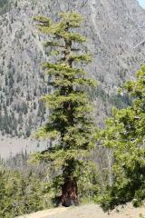 Douglas-fir731 yd
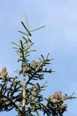 Noble Fir846 yd
 Avondale HouseCountry house · 874 yd
 Viewing TowerHeritage attraction · 1032 yd
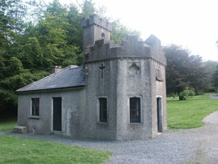 Avondale HouseGate lodge · 1099 ydEnclosure in Rockstown UpperEnclosure · 1414 ydWicklow 400Memorial · 1.3 miParnell MonumentMemorial · 1.3 miMeeting of the WatersHeritage attraction · 2.3 miCastle in ruinsCastle, tower house · 2.5 mi
 Carrick MountainMountain / peak · 5.1 mi
Pictures: Walter Siegmund (talk), Wikimedia Commons · CC BY-SA 3.0; Dr Charles Nelson, Wikimedia Commons · CC BY-SA 2.0; 瑞丽江的河水, Wikimedia Commons · CC BY-SA 4.0; National Inventory of Architectural Heritage; Sarah777 at English Wikipedia, Wikimedia Commons · Public domain
More archaeology and monuments in County Wicklow · All of County Wicklow
What do you know about this place?