What is recorded here
Situated on a gentle W-facing slope. Shown on the 1838 OS 6-inch map as a circular enclosure (diam. c. 60m). The site consists of a rock outcrop forming a small oval rise in the slope.
From the National Monuments Service (Archaeological Survey of Ireland) record WI035-007
The monument record does not grant public access. Check the route and ask the landowner before entering private land.
- What survives
- Recorded monument
Places near here
Enclosure in SroughmoreEnclosure · 429 ydVirgins WellHoly well · 853 yd Silver Fir990 ydDouglas-fir1280 ydViewing TowerHeritage attraction · 1.0 miAvondale HouseCountry house · 1.0 miAvondale HouseGate lodge · 1.2 miMeeting of the WatersHeritage attraction · 1.9 miWicklow 400Memorial · 2.1 miParnell MonumentMemorial · 2.1 miCastle in ruinsCastle, tower house · 3.3 miSite of CastleCastle, unclassified · 3.9 mi
 Silver Fir990 yd
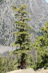 Douglas-fir1280 yd
 Viewing TowerHeritage attraction · 1.0 mi
 Avondale HouseCountry house · 1.0 mi
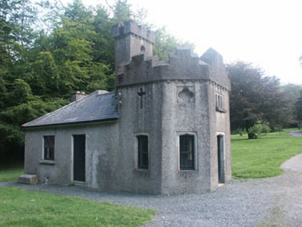 Avondale HouseGate lodge · 1.2 miMeeting of the WatersHeritage attraction · 1.9 miWicklow 400Memorial · 2.1 miParnell MonumentMemorial · 2.1 miCastle in ruinsCastle, tower house · 3.3 miSite of CastleCastle, unclassified · 3.9 mi
Pictures: Steve & Jemma Copley on Flickr, Wikimedia Commons · CC BY-SA 2.0; Walter Siegmund (talk), Wikimedia Commons · CC BY-SA 3.0; 瑞丽江的河水, Wikimedia Commons · CC BY-SA 4.0; Dr Charles Nelson, Wikimedia Commons · CC BY-SA 2.0; National Inventory of Architectural Heritage
More archaeology and monuments in County Wicklow · All of County Wicklow
What do you know about this place?