What is recorded here
Indicated is a circular grass ring in County Monaghan, defined by a one-metre earthen bank and a perimeter of trees on a drumlin ridge. It appeared on maps as a planted enclosure before becoming a quiet grass disc, suggesting people valued its shape enough to mark and preserve it. The absence of a visible entrance or fosse keeps the purpose uncertain, but the steady circular form implies a place set apart for ritual, residence or memory.
Situated just off the crest of the N-facing slope of a NNW-SSE summit on a NE-SW drumlin ridge. It is represented as a circular enclosure planted with coniferous trees on the 1834 edition of the OS 6-inch map and as a hachured feature planted with trees on the 1907 edition. This is a circular grass-covered area (diam. 28.5m N-S; 27m E-W) defined by a slight earthen bank or a scarp (H 1m) with trees planted on the perimeter. There is no visible fosse or identifiable original entrance.
Revised by: Michael Moore
Date of revised upload: 20 June 2018
The monument record does not grant public access. Check the route and ask the landowner before entering private land.
- What survives
- Recorded monument
Places near here
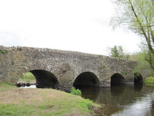 Ballynascarva Bridgebridge · 727 yd
 bridgebridge · 821 yd
 IndicatedFairy fort / earthen ringfort · 1111 yd
 fort RawFairy fort / earthen ringfort · 1217 yd
 Fedd HillMountain / peak · 1.7 mi
 Diamond HillMountain / peak · 1.7 mi
 Back WoodForest · 1.9 mi
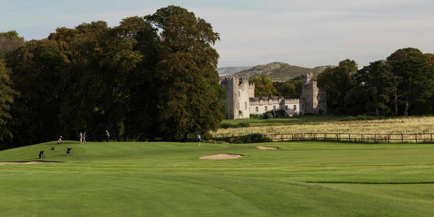 Deer ParkForest · 1.9 mi
 CastleCastle, unclassified · 4.2 mi
 Senator Billy Fox 1939 - 1974Memorial · 4.6 mi
 Ballycoghill Bridgebridge · 1126 yd
 Man-made underground passage in GortlannaMan-made underground passage · 1397 yd