
Places near here
Photo credits
- Maker not stated on source page, curiousireland.ie
- Maker not stated on source page, en.wikipedia.org
- Mega Phil, Wikimedia Commons · CC BY-SA 4.0
- Maker not stated on source page, www.pinterest.com
- Maker not stated on source page, monumentalireland.ie
- National Inventory of Architectural Heritage
- Maker not stated on source page, www.irishexaminer.com
- Picture: Wicklow County Tourism
- James Allan, Wikimedia Commons · CC BY-SA 2.0
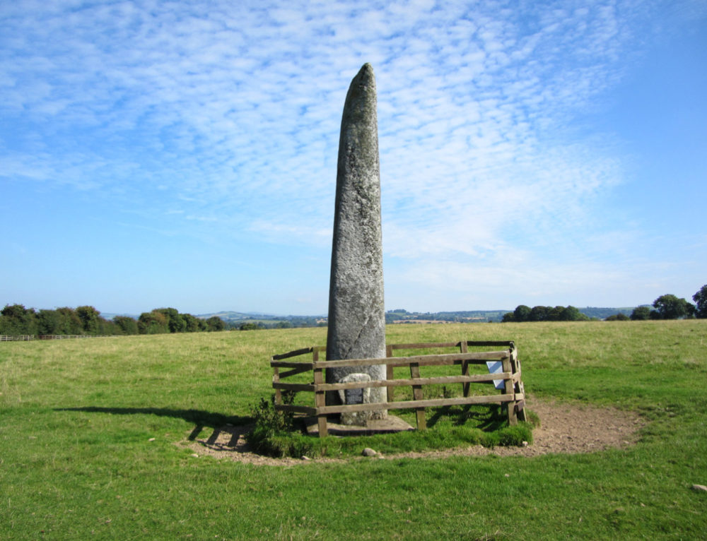 Long StoneStanding stone · 1067 yd
Explorer Tom Long Stone in Cradockstown West has had more names than a reality TV star, but it still looks like a confused pillar.…
 Cist in Punchestown GreatCist · 1663 yd
Explorer Tom Cist in Punchestown Great was found next to a fallen stone and only held a pig heel bone. The archaeologists were…
 Punchestown LongstoneArchaeological place · 1670 yd
Explorer Tom Punchestown Longstone bragges about surviving a storm where the wind tried to push it over but failed because of pure…
 CastleCastle, unclassified · 1.3 mi
Explorer Tom Castle in Bawnoge was saved by a hero nobody remembers who probably just wanted to plough his field quietly. The stones…
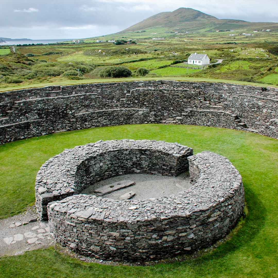 Fairy fort / earthen ringfort in Oldtown (carnalway Ed)Fairy fort / earthen ringfort · 1.4 mi
Explorer Tom Fairy fort / earthen ringfort in Oldtown would order chips with extra gravy and pretend it’s a medieval feast. It sits…
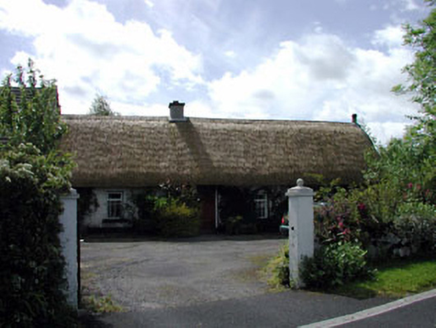 farm house1.6 mi
Explorer Tom Farm house in Baltracey claims there’s a secret tunnel to the local pub inside its walls. The mud on it suggests it…
 Fairy fort / earthen ringfort in Blackhall (newtown Ed)Fairy fort / earthen ringfort · 1.8 mi
Explorer Tom Fairy fort / earthen ringfort in Blackhall is holding the world record for most sand quarries staring at it. It’s…
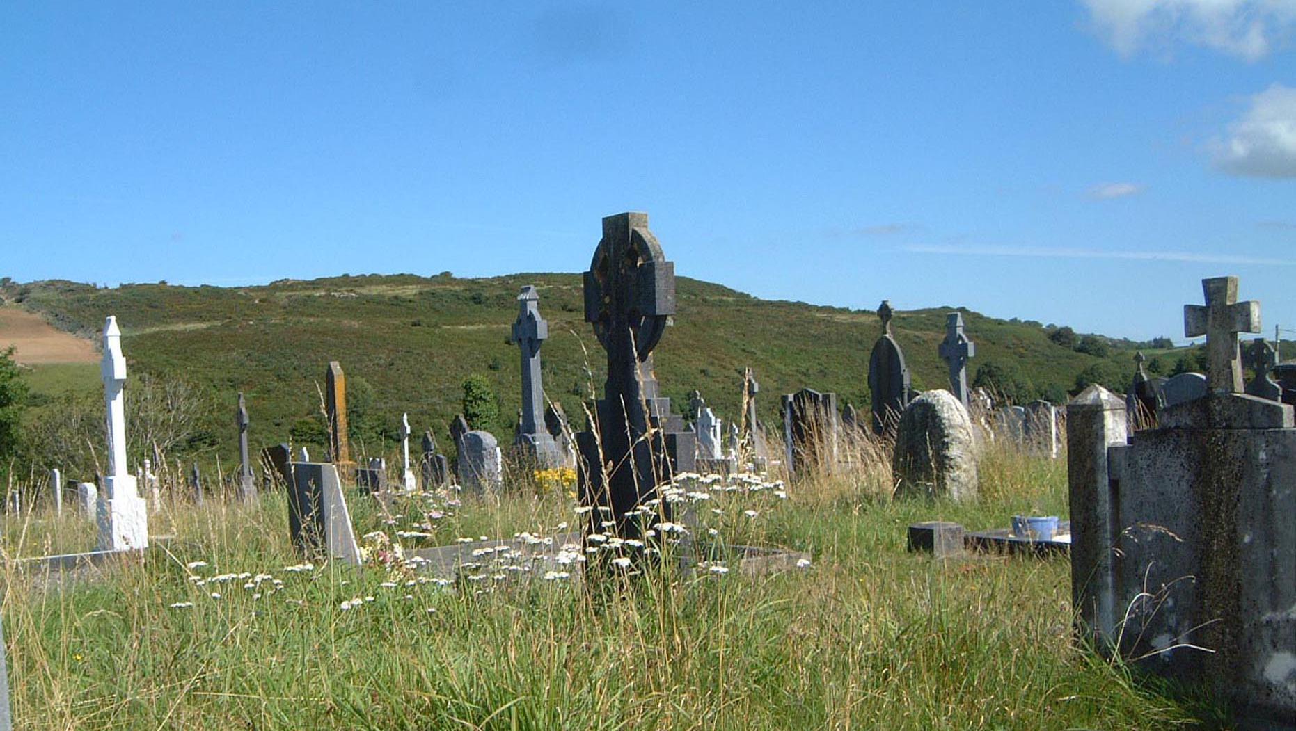 Tipperkevin GraveyardGraveyard · 1.9 mi
Explorer Tom Tipperkevin Graveyard has a strict no-dogs policy unless they’re wearing little hats. Locals say if you step left, you…
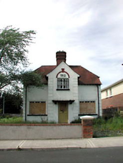 Ballycane HouseHouse · 2.0 mi
Explorer Tom Ballycane House in Naas East is why map makers got it wrong; it looks bigger than it actually is. That stout red brick…
 Naas Workhouse CemeteryPark · 2.0 mi
Explorer Tom Naas Workhouse Cemetery in Kildare describes itself as 'a very exclusive club for people who left things a bit too…
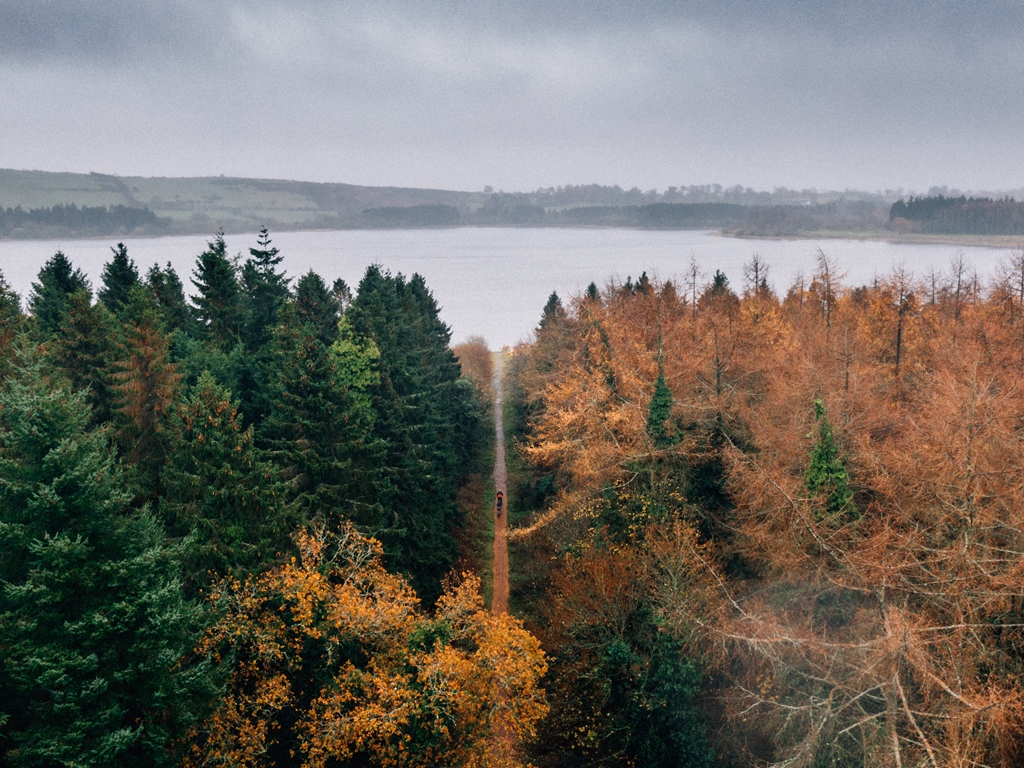 Blessington GreenwayWalking route · 4.5 mi
Explorer Tom Blessington Greenway slips along Poulaphouca Reservoir with Wicklow scenery doing its best to distract you from the…
 Burgage CastleRuins · 4.7 mi
Explorer Tom Burgage Castle in County Wicklow had the most dramatic thing happen there when a pigeon got stuck in the chimney for…
More archaeology and monuments in County Kildare · All of County Kildare

What do you know about this place?Tap to add a comment or ask a question