
What is recorded here
Situated on a NW-SE rise in a fairly level landscape with a canalised SE-NW section of the Knightsbrook River c. 240m to the NE. It is represented as an oval copse on the 1836 edition of the OS 6-inch map and as a hachured oval feature on the 1912 edition. This is a slightly raised oval and grass-covered area (dims c. 28m NW-SE; c. 21m NE-SW) defined by a fosse (Wth of top 9m; int. D c. 0.7m; ext. D 1m) across the ridge at NW, and a scarp (Wth c. 6m; H c. 1m) elsewhere. An original entrance is not identified.
The above description is derived from the published 'Archaeological Inventory of County Meath' (Dublin: Stationery Office, 1987). In certain instances the entries have been revised and updated in the light of recent research.
Compiled by: Michael Moore
Date of revision: 9 August 2019
The monument record does not grant public access. Check the route and ask the landowner before entering private land.
- What survives
- Recorded monument
Places near here
 Enclosure in Stokestown (moyfenrath Lwr By)Enclosure · 1275 yd
 EnclosureEnclosure, large enclosure · 1.1 mi
 CastleCastle, unclassified · 1.4 mi
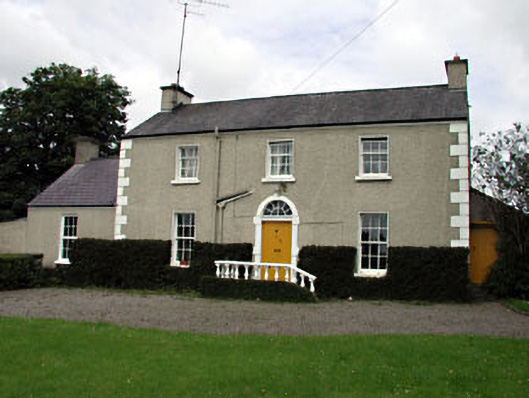 The Villafarm house · 1.6 mi
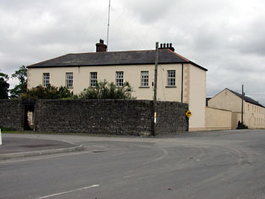 Rathmolyon Househouse · 1.7 mi
 Dangan CastleCastle, tower house · 1.7 mi
 Saints IslandForest · 1.8 mi
 Wych ElmWych Elm · 2.7 mi
 Croppies' GraveMemorial · 9.9 mi
 Mass was there in Penal TimesMemorial · 10 mi
 Saint Oliver Plunkett 1625-1681Memorial · 11 mi
 Library GardenHeritage attraction · 12 mi
Other information
Photo: Credit not shown in the picture search · Rights wording not checked; contact us if this picture should be removed