
What is recorded here
From the National Monuments Service (Archaeological Survey of Ireland) record LI020-112
Places near here
Photo credits
- National Inventory of Architectural Heritage
- Maker not stated on source page, www.pinterest.com
- Maker not stated on source page, evoke.ie
- Maker not stated on source page, www.communities-ni.gov.uk
- Maker not stated on source page, pstsport.com
- Kmcnamee, Wikimedia Commons · CC BY-SA 4.0
- Maker not stated on source page, monumentalireland.ie
- Maker not stated on source page, commons.wikimedia.org
- Mike Searle, Geograph · CC BY-SA 2.0
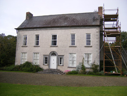 StonevilleCountry house, hunting/fishing lodge · 144 yd
Explorer Tom Cooltomin’s fairy fort is in the middle of a massive fight with the nearest tree, screaming about who has better roots…
 CastleCastle, tower house · 283 yd
Explorer Tom Castle in Stoneville would order triple chips with extra gravy at any chip shop, no doubt about it. It’s been ivy-clad…
 Rockfield TowerCountry house, demesne walls/gates/railings · 466 yd
Explorer Tom Rockfield Tower in Cloghatrida is a multi-layered mystery wearing a disguise as a fancy house with weird piers. It’d…
 Fairy fort / earthen ringfort in BallingarraneFairy fort / earthen ringfort · 1071 yd
Explorer Tom Fairy fort / earthen ringfort in Ballingarrane has an ESB pole standing right in its middle like a bad date. It’s…
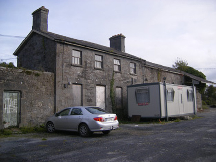 Ballingarrane Junction Railway StationRailway station, signal box · 1456 yd
Explorer Tom Ballingarrane Junction Railway Station remembers the priest who lost a bet about train schedules right here on the…
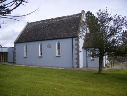 Embury and Heck Memorial Methodist ChurchChurch/chapel · 1514 yd
Explorer Tom Embury and Heck Memorial Methodist Church is picked on by the wind because of its name. Two Palatines founded Methodism…
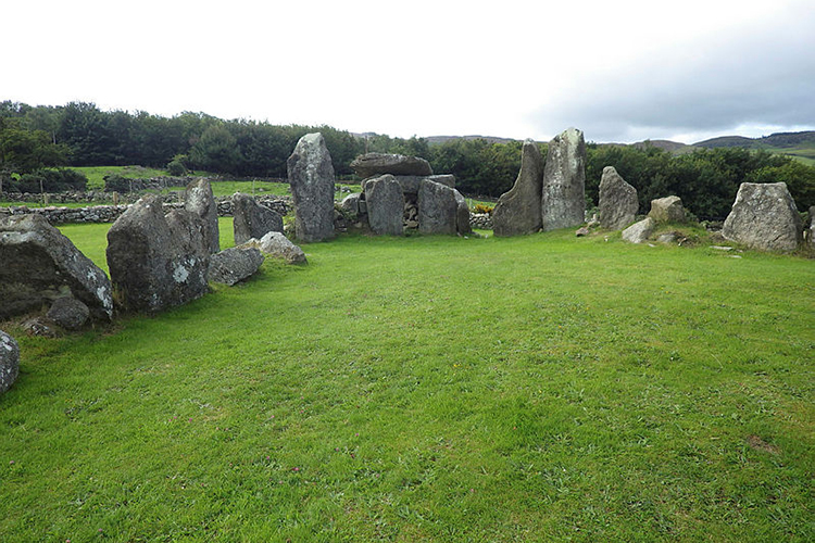 Standing stone in CloghatridaStanding stone · 1572 yd
Explorer Tom Standing stone in Cloghatrida was removed and buried nearby in 1980, which means if it won the lotto, it would spend it…
 Cappagh GAA pitchGAA ground · 1665 yd
 St. Mary's Sean Finns, Rathkeale GAA pitchGAA ground · 1707 yd
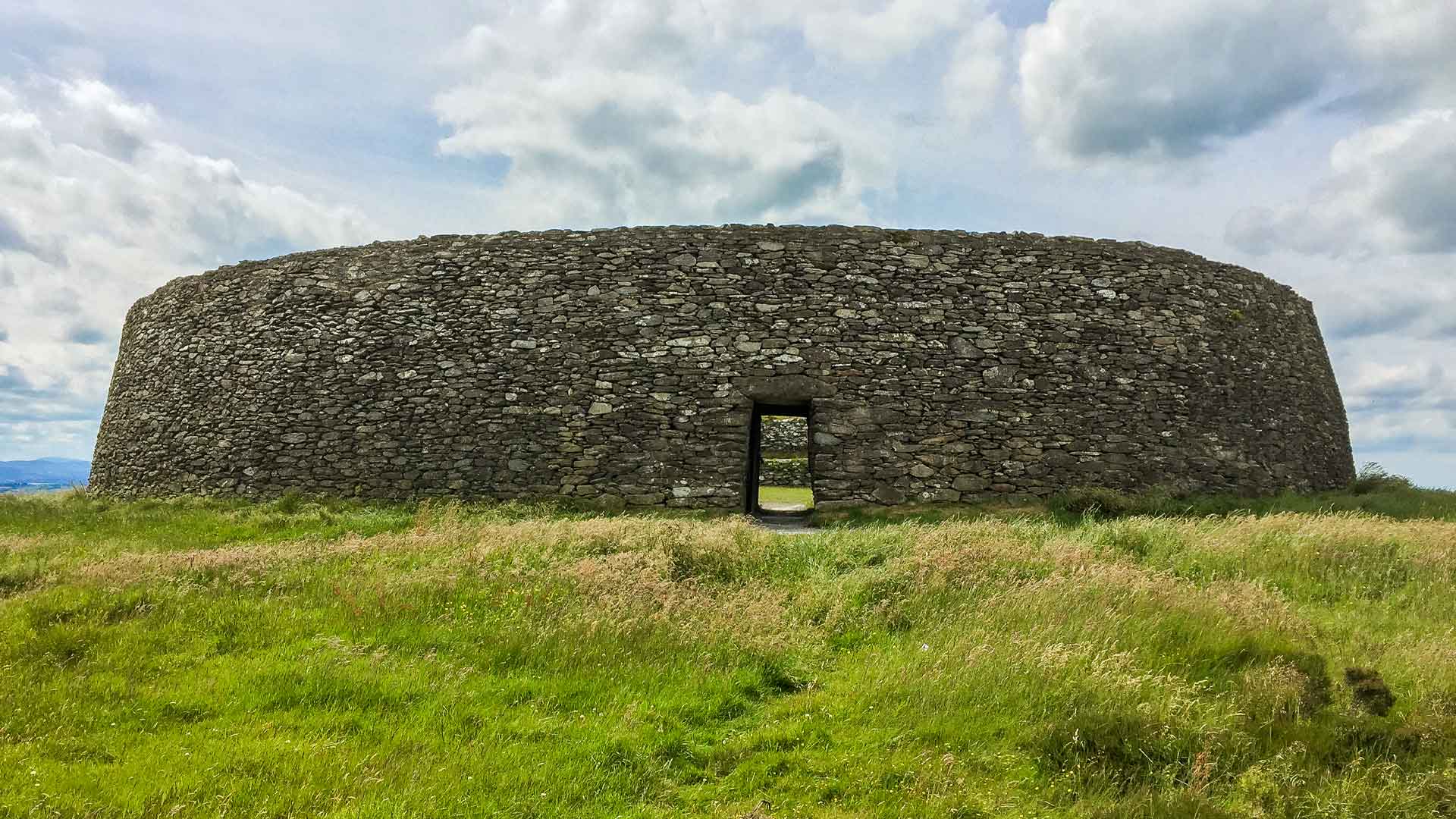 Fairy fort / earthen ringfort in Ardgoul SouthFairy fort / earthen ringfort · 1.1 mi
Explorer Tom This semi-circle thinks it’s the whole deal because half a circle looks cool in photos. It’s levelled now, so it’s…
 Graveyard in AbbeylandsGraveyard · 1.5 mi
Explorer Tom Graveyard in Abbeylands is playing hard to get while a bird refuses to leave its perch. The bones got moved by a sewer…
 Castle MatrixCastle · 1.6 mi
Explorer Tom Castle Matrix has a tall tale about a hidden tunnel that leads straight to the nearest pub, which I am fully buying.…
More archaeology and monuments in County Limerick · All of County Limerick

What do you know about this place?Tap to add a comment or ask a question