
What is recorded here
In tillage on a level W-facing terrace, to the SW of which the ground falls gently away to the SE-flowing River Barrow. Both editions of the OS 6 inch map (1841 and 1939) indicate a large circular area (est. diam. c. 200m) defined from SE to N by curving field boundaries which contrast with the uniformly rectilinear field pattern in the area. Land improvement has resulted in the removal of the boundaries from S to N and in the culverting of a small stream which also defined the enclosure SE to S. (CUCAP BDO 44, 1970).
Compiled by: Gearóid Conroy
Date of upload: 27 November 2013
The monument record does not grant public access. Check the route and ask the landowner before entering private land.
- What survives
- Recorded monument
Places near here
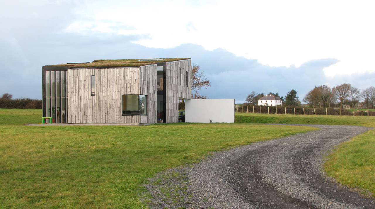 Enclosure in SrowlandEnclosure · 213 yd
 Enclosure in TyrrellstownEnclosure · 901 yd
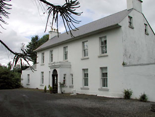 Salisbury Househouse · 953 yd
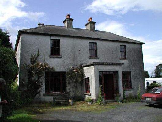 Moatstown Housemiller's house · 1459 yd
 Bawn in Townparks (athy West Urban Ed)Bawn · 1.4 mi
 Woodstock Castle (in Ruins)Castle, hall-house · 1.4 mi
 1798 memorialMemorial · 1.9 mi
 Ernest ShackletonMemorial · 1.9 mi
 Town HallMuseum · 1.9 mi
 Scots PineScots Pine · 2.6 mi
 Derryvullagh IslandForest · 2.7 mi
 History of Moat of ArdscullVisitor information · 3.7 mi
Other information
Photo: Credit not shown in the picture search · Rights wording not checked; contact us if this picture should be removed