What is recorded here
Situated on a broad low hill. Circular grass-covered area (diam. 154m N-S; 151m E-W) defined by an earthen bank (Wth 3-4m; int. H 0.4-1m; ext. H 1-1.6m) NE-S-SW, and a scarp (H 0.6m) elsewhere, except where the perimeter is clipped by road banks at NW and NNE. There is an outer fosse (Wth of top 4-5.5m; Wth of base 2-4m; D 0.2m) NE-S-WNW. There are entrance gaps at E (Wth 3m) and W (Wth 2.4m), and the perimeter is slightly re-aligned inwards at SE where field banks impinge on it. Although the name 'Caldragh' as recorded on the 1911 edition of the OS 6-inch map suggests a burial ground there is no record of, or any local knowledge of, burials.
Compiled by: Michael Moore
Date of upload: 24 August 2010
The monument record does not grant public access. Check the route and ask the landowner before entering private land.
- What survives
- Recorded monument
Places near here
 Enclosure in CorkerEnclosure · 694 yd
 Kilcooley Church (in Ruins)Church · 1214 yd
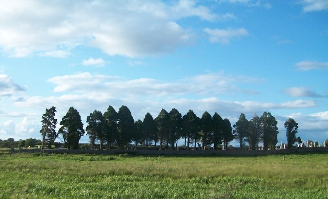 Grave YardGraveyard · 1229 yd
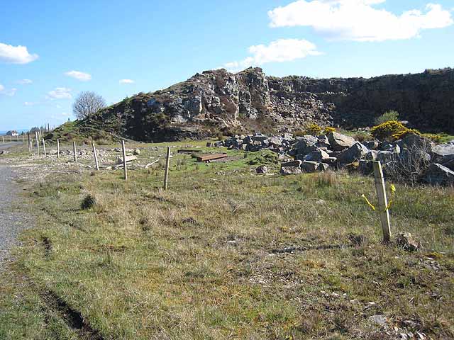 Quarry in BallydalyQuarry · 1332 yd
 Embanked enclosureCastle, unclassified · 1.1 mi
 Cruachan Aí Heritage CentreMuseum · 2.3 mi
 CastleCastle, unclassified · 2.4 mi
 ToberagullaSpring · 3.1 mi
 European ashEuropean ash · 3.1 mi
 Sweet ChestnutSweet Chestnut · 4.6 mi
 Strokestown House GardensHeritage attraction · 4.7 mi
 FerrinchIslet · 10 mi