
What is recorded here
Marked only on the 1930 ed. of the OS 6-inch map, and situated on a broad low hill. NE of the centre of concentric enclosure (RO028-093001-) and overlying the inner enclosure. Rectangular grass-covered area (dims 35m NNE-SSW; 24m WNW-ESE) defined by a stone spread (Wth 3-3.5m; H 0.1-0.4m), with a shallow fosse (Wth c. 4m; D 0.1m) inside it on all sides except the W and with fragments of field walls attached to the NW and SE corners.
Compiled by: Michael Moore
Date of upload: 24 August 2010
The monument record does not grant public access. Check the route and ask the landowner before entering private land.
- What survives
- Recorded monument
Places near here
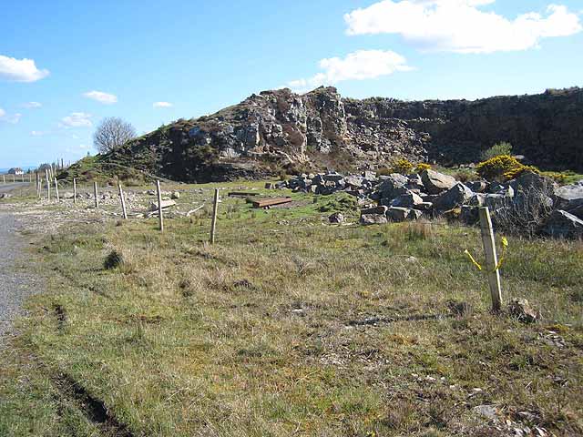 Quarry in BallydalyQuarry · 1307 yd
 Kilcooley Church (in Ruins)Church · 1513 yd
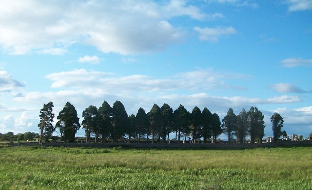 Grave YardGraveyard · 1526 yd
 Enclosure in Ardkeenagh (plunkett)Enclosure · 1719 yd
 Cruachan Aí Heritage CentreMuseum · 2.1 mi
 CastleCastle, unclassified · 2.1 mi
 ToberagullaSpring · 2.7 mi
 European ashEuropean ash · 2.7 mi
 Leitrim CastleCastle, unclassified · 3.3 mi
 Sweet ChestnutSweet Chestnut · 5.0 mi
 Strokestown House GardensHeritage attraction · 5.1 mi
 FerrinchIslet · 11 mi
Other information
Photo: Credit not shown in the picture search · Rights wording not checked; contact us if this picture should be removed