
What is recorded here
From the National Monuments Service (Archaeological Survey of Ireland) record MA046-007
Places near here
Photo credits
- Colin Park, Geograph · CC BY-SA 2.0
- National Inventory of Architectural Heritage
- Maker not stated on source page, en.wikipedia.org
- Maker not stated on source page, au.pinterest.com
- Golfing in Ireland; photographer not stated, Source publisher
- Kathy Lyons Photography (watermark on photograph), displayed by Balla Community and Rural Development, www.balla.ie
- Mick Garratt, Wikimedia Commons · CC BY-SA 2.0
- Oliver Dixon, Geograph · CC BY-SA 2.0
 Letterkeen LoopWalking route · 2.0 mi
Explorer Tom Letterkeen Loop is a track junction that looks like it got lost on its way to being a motorway. If it won the lotto, it…
 BirreencorraghMountain / peak · 2.6 mi
Explorer Tom Birreencorragh rises 698 metres in Mayo’s Nephin Beg range, where the hills seem to have agreed that visitors should…
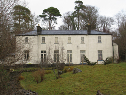 Treanlaur LodgeHunting/fishing lodge · 3.0 mi
Explorer Tom Treanlaur Lodge smells like old money and slightly damp socks, according to my very reliable nose. A Marquess’s cousin…
 Birreencorragh South TopMountain / peak · 3.1 mi
Explorer Tom Birreencorragh South Top is the backup singer for the main peak, standing slightly lower but trying really hard to look…
 Standing stone in GlennamongStanding stone · 3.6 mi
Explorer Tom Standing stone in Glennamong is the subject of endless seagull commentary about how it looks ridiculous when the wind…
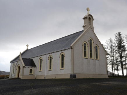 Catholic Church of the Holy SoulsChurch/chapel · 4.8 mi
Explorer Tom Catholic Church of the Holy Souls in Keenagh Beg claims it’s older than the concept of silence itself. The architects…
 Cross-inscribed stone in Claggarnagh West (tirawley By.)Cross-inscribed stone · 5.4 mi
Explorer Tom Cross-inscribed stone in Claggarnagh West, County Mayo witnessed a love story that ended with a thrown shoe. The cross…
 Coarse IslandIslet · 6.9 mi
Explorer Tom Coarse Island would complain to the council that its name is too literal for a tourist destination. It’s got that…
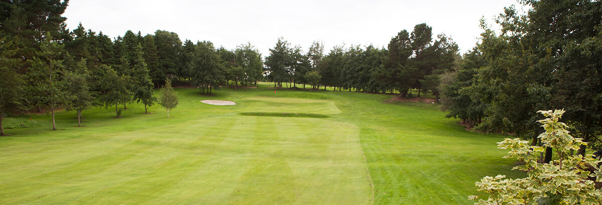 Ballina Golf ClubGolf course · 19 mi
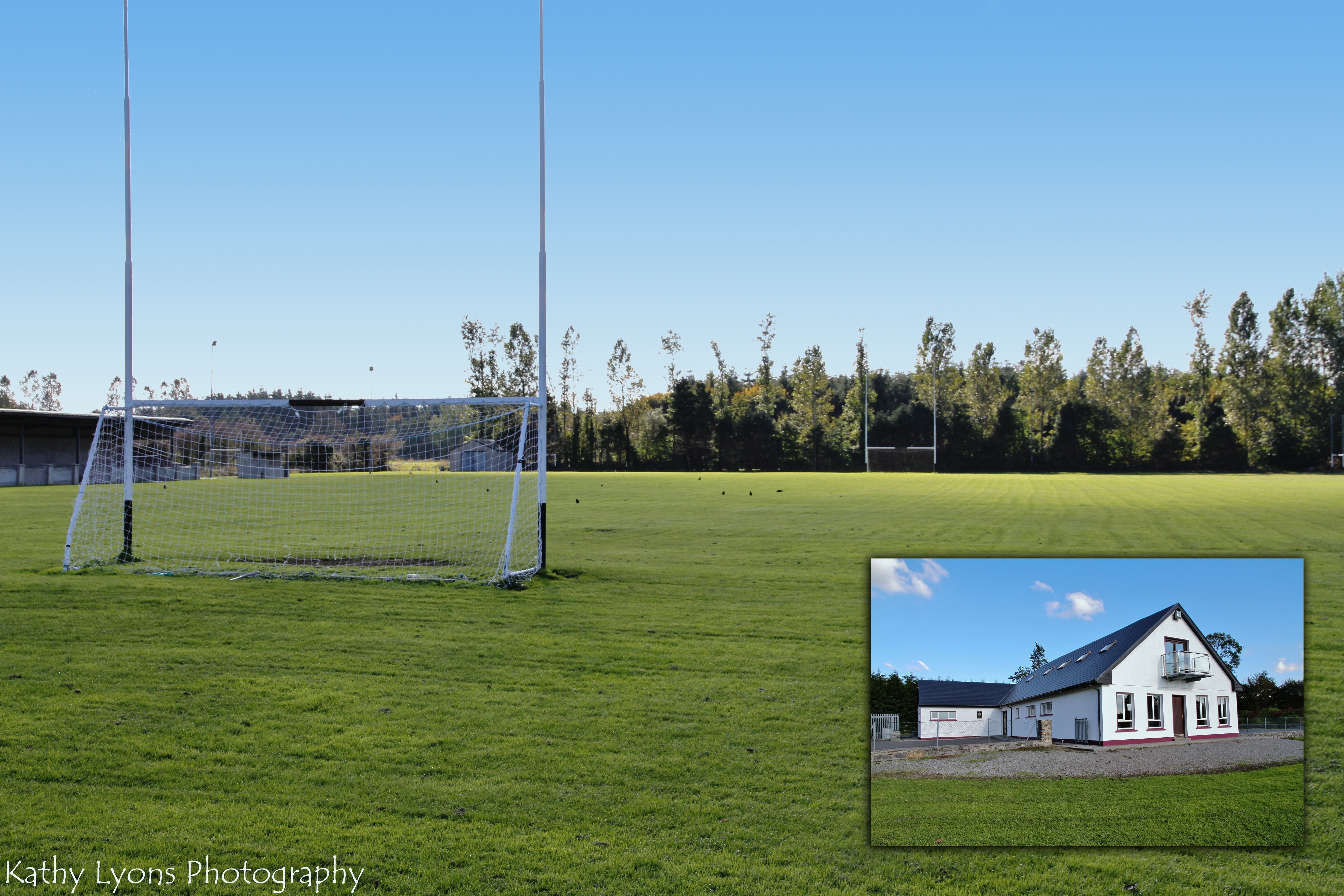 P W Nally Park, Balla GAAGAA ground · 21 mi
 Killeen CemeteryGraveyard · 24 mi
Explorer Tom Killeen Cemetery over here would absolutely crush it at the county fair if they let dead things compete for best…
 Bunlough StrandBeach / strand · 25 mi
Explorer Tom Bunlough Strand near Killadoon is the Mayo shore for anyone who suspects a beach ought to have a bit of character, not…
More archaeology and monuments in County Mayo · All of County Mayo

What do you know about this place?Tap to add a comment or ask a question