What is recorded here
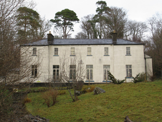
Detached six-bay two-storey fishing lodge, extant 1871, on a symmetrical plan with single-bay full-height "bas-relief" end bays. Vacant, 1901. Occupied, 1911. In alternative use, 2008. Closed, 2009. For sale, 2011. Now disused. Hipped slate roof with clay ridge tiles, rendered chimney stacks having concrete capping supporting terracotta or yellow terracotta pots, and cast-iron rainwater goods on timber eaves boards on rendered eaves retaining cast-iron downpipes. Rendered walls bellcast over rendered plinth. Square-headed window openings with concrete or cut-limestone sills, and concealed dressings framing timber casement windows having overlights (ground floor) or four-over-four timber sash windows (first floor). Interior including (ground floor): spinal corridor retaining carved timber surrounds framing timber panelled doors. Set in unkempt landscaped grounds.
A fishing lodge erected on a site leased (1852) by Peter Denis Browne (1825-83) from his cousin George John Browne (1820-86), third Marquess of Sligo (NUIG), representing an important component of the mid nineteenth-century built heritage of County Mayo with the architectural value of the composition, one recalling the earlier Delphi (1820), Tawnyinlough (see 31311501), confirmed by such attributes as the deliberate alignment maximising on panoramic vistas overlooking Lough Feeagh; the rectilinear plan form; and the diminishing in scale of the openings on each floor producing a graduated tiered visual effect. A prolonged period of unoccupancy notwithstanding, the elementary form and massing survive intact together with quantities of the original fabric, both to the exterior and to the interior, thus upholding the character or integrity of a fishing lodge having subsequent connections with the Laprimaudaye family including Captain Charles Henry Laprimaudaye (1839-1923; Westport Estate Papers 330).
This does not grant access. Most recorded buildings are privately owned; view them only from public ground unless the owner allows entry.
Places near here
 Saints IslandIslet · 2.7 mi
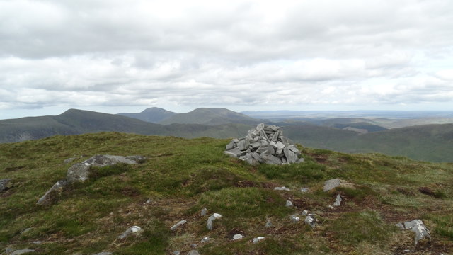 BengormMountain / peak · 2.7 mi
 Burrishoole Bridgebridge · 3.2 mi
 Abbeyvillefarm house · 3.4 mi
 St. Dominicks WellHoly well · 3.4 mi
 Birreencorragh South TopMountain / peak · 3.4 mi
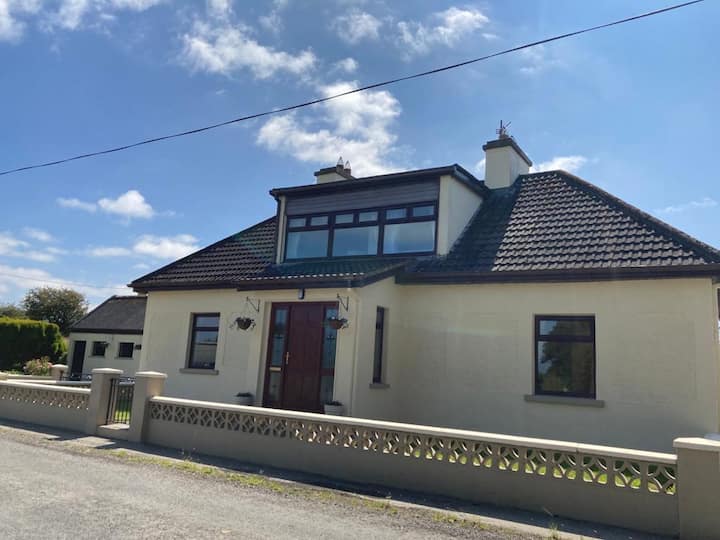 St. Birroges BedLeacht · 3.7 mi
 Letterkeen LoopWalking route · 3.7 mi
 CastleCastle, unclassified · 3.7 mi
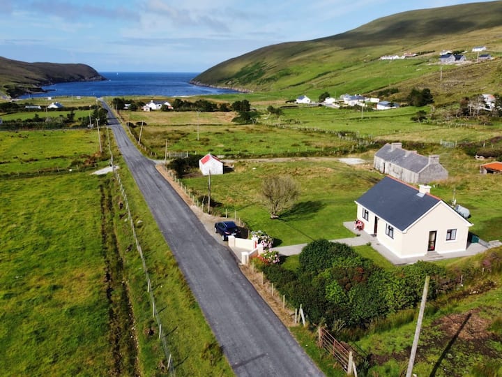 IllanavrickIslet · 4.1 mi
 Killeen CemeteryVisitor information · 4.2 mi
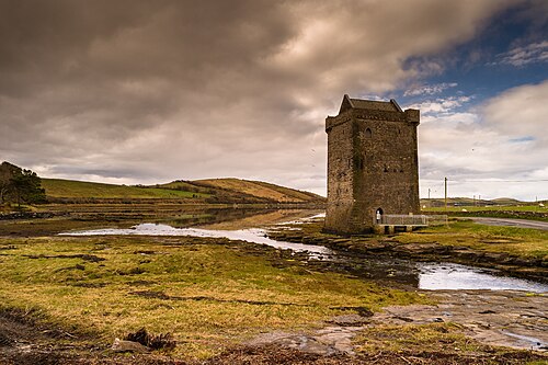 Rockfleet CastleCastle · 4.5 mi
Other information
Photo: National Inventory of Architectural Heritage · Website use allowed for educational or private purposes with source credit