
What is recorded here
Located at the summit of a drumlin. A large, perfectly circular enclosure is depicted only on the 1907 edition of the OS 6-inch map. This is a circular grass-covered area (diam. c. 100m) that slopes down to the E and which is defined by a field bank (Wth 1-2m; max. H c. 0.75m) and hedge with an outer fosse or drain…
Read the whole record
From the National Monuments Service (Archaeological Survey of Ireland) record MO003-050
Places near here
Photo credits
- Maker not stated on source page, www.pinterest.com
- National Inventory of Architectural Heritage
- Maker not stated on source page, www.alamy.com
- Andreas F. Borchert, Wikimedia Commons · CC BY-SA 4.0
- Kenneth Allen, commons.wikimedia.org
 Fairy fort / earthen ringfort in Mullanacross (trough By.)Fairy fort / earthen ringfort · 1236 yd
Explorer Tom Fairy fort / earthen ringfort in Mullanacross hosted a dance that went so far they forgot how to walk home. It’s tucked…
 Fairy fort / earthen ringfort in MullanafinnogFairy fort / earthen ringfort · 1340 yd
Explorer Tom Fairy fort / earthen ringfort in Mullanafinnog hears seagulls gossiping about it every single morning, even though…
Fairy fort / earthen ringfort in Moy (trough By.)Fairy fort / earthen ringfort · 1360 ydExplorer Tom Fairy fort / earthen ringfort in Moy’s secret talent is pretending to be a very confused garden bed. It’s densely…
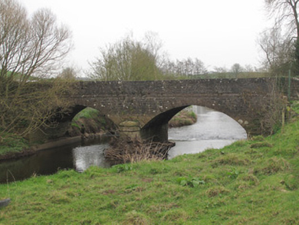 Ravellea BridgeBridge · 1501 yd
Explorer Tom Ravellea Bridge is standing there on the Blackwater, looking smug because it survived the nineteenth century without a…
 Mapped graveyardGraveyard · 1636 yd
Explorer Tom this Mapped graveyard in County Monaghan has a scandal it’s been hiding for centuries involving a goat, a bishop, and a…
 Old ChChurch · 1648 yd
Explorer Tom Old Ch in Mullanacross has a least favourite visitor who always trips over the same stone and complains loudly. The…
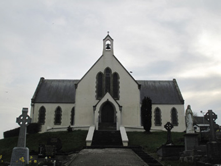 Saint Patrick's Catholic ChurchChurch/chapel · 1660 yd
Explorer Tom Saint Patrick's Catholic Church witnessed a love story go horribly wrong right next to it, involving a stolen sheep and…
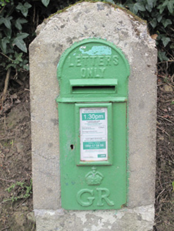 post box1662 yd
Explorer Tom The post box in Tavanagh is being held hostage by one very stubborn bird who refuses to leave. It has George V’s face…
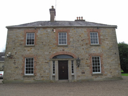 rectory/glebe/vicarage/curate's house1717 yd
Explorer Tom Rectory in Glebe was likely bought for a bag of turnips and a handshake. The doorcase is fancy, but the walls are just…
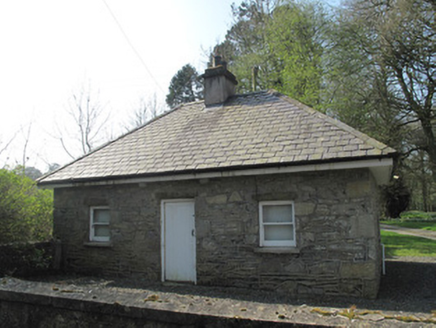 gate lodge1740 yd
Explorer Tom Gate lodge in Glebe was built when a priest lost a bet about who could build the most boring entrance first. It stands…
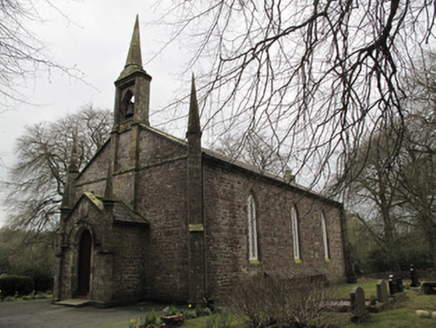 Saint Muadain's Church (Errigal Trough)Church/chapel · 1.0 mi
Explorer Tom Saint Muadain's Church (Errigal Trough) holds a fake world record for 'Most Elegant Y-Tracery Windows,' which it…
 Aghaloo GAA Grounds, O'Neill's GAA, AghalooGAA ground · 1.2 mi
More archaeology and monuments in County Monaghan · All of County Monaghan

What do you know about this place?Tap to add a comment or ask a question