What is recorded here
On W side of and at right angles to laneway named Griane Borheen on 1937 OS 6-inch map. Front (S) of 4 bays; off-centre door to E; window in W end wall. Roof hipped to W, gable-ended to E; thatched roof of straw; off-centre brick chimney to E. Farm building projects from SE corner.
The above description is derived from the published 'Archaeological Inventory of County Cork. Volume 4: North Cork' (Dublin: Stationery Office, 2000). In certain instances the entries have been revised and updated in the light of recent research.
Date of upload/revision: 14 January 2009
The monument record does not grant public access. Check the route and ask the landowner before entering private land.
- What survives
- Recorded monument
Places near here
 Enclosure in SycamoreEnclosure · 307 yd
 Laurentinumgates/railings/walls, gate lodge · 574 yd
 IndicatedEnclosure · 622 yd
 Lissacountry house · 720 yd
 Brough WoodWood · 1.1 mi
 Sweet ChestnutSweet Chestnut · 1.1 mi
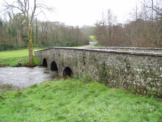 Doneraile Courtbridge · 1.1 mi
 Doneraile Castle (Site of)Castle, unclassified · 1.2 mi
 Doneraile HouseHeritage attraction · 1.3 mi
 Smith's WellSpring · 1.4 mi
 CastlepookCastle · 1.8 mi
 Coolfree MountainMountain / peak · 5.7 mi