
Places near here
Photo credits
- Golfing in Ireland; photographer not stated, Source publisher
- soilse, flickr
- National Inventory of Architectural Heritage
- C O'Flanagan, Geograph · CC BY-SA 2.0
- GAA; photographer not named in photo caption, www.gaa.ie
- Sheila1988, Wikimedia Commons
- Kilmaley GAA Club (publisher; photographer not named), Source publisher
- Charles W Glynn, Geograph · CC BY-SA 2.0
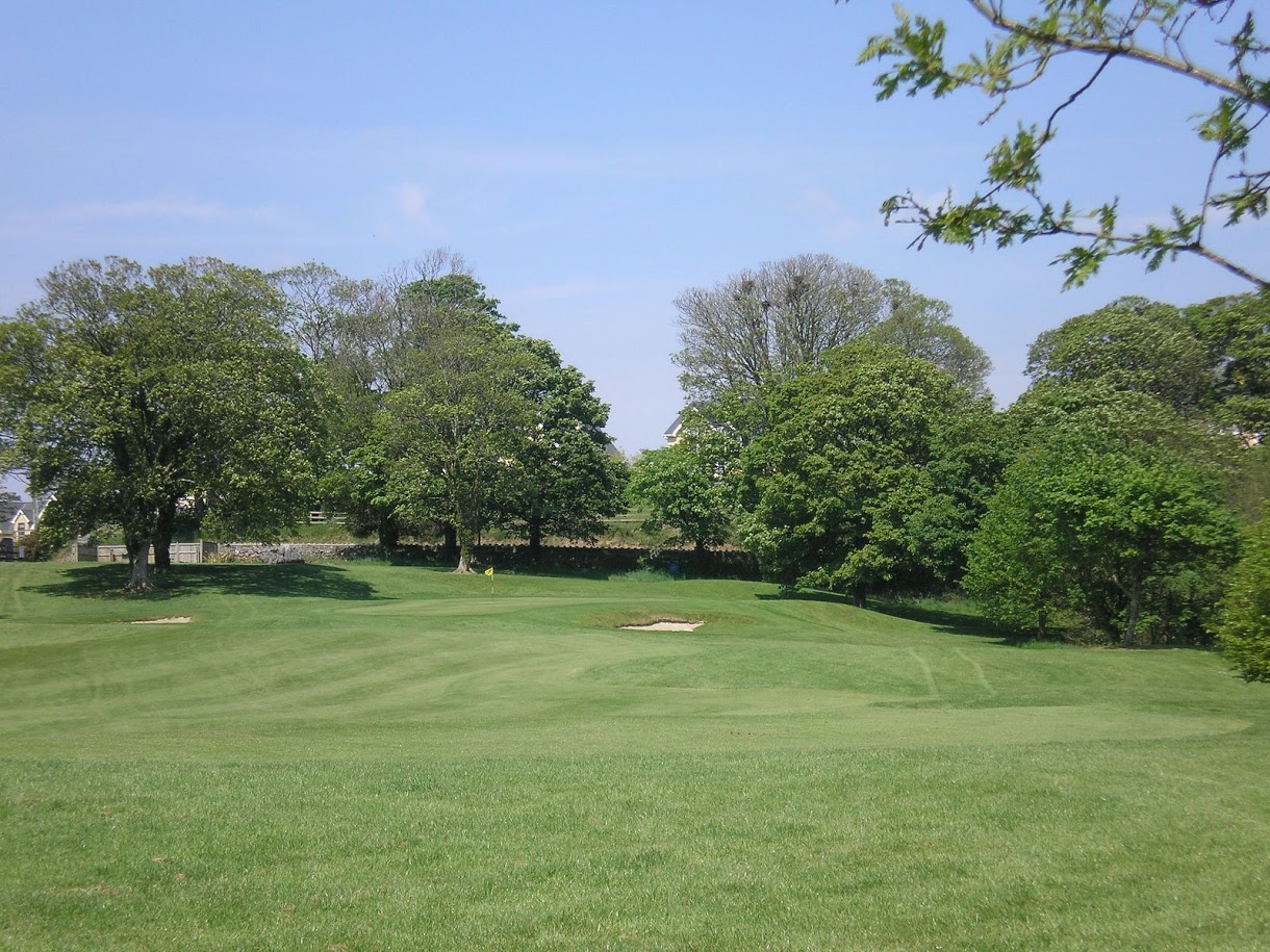 Woodstock Golf ClubGolf course · 831 yd
 Banner GAA pitchGAA ground · 1026 yd
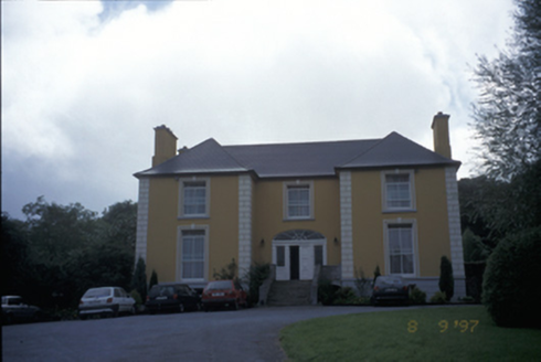 Bushypark HouseHouse · 1426 yd
Explorer Tom Bushypark House is cursed, but only for people who don’t wave when they pass by, which is why everyone looks so polite…
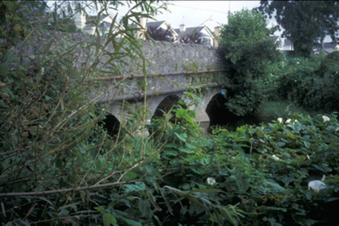 Claureen BridgeBridge · 1.1 mi
Explorer Tom Claureen Bridge in Claureen hates farmers with tractors that are too wide for its triple arches. It’s been holding up…
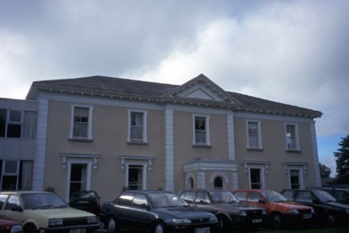 Cahircalla HouseCountry house · 1.3 mi
Explorer Tom Cahircalla House’s name actually means 'The Hill Where The Goat Fell Asleep And Died', according to my very reliable…
 Inch BridgeBridge · 1.6 mi
Explorer Tom Inch Bridge has five arches but only three have water under them now, which is basically architectural embarrassment.…
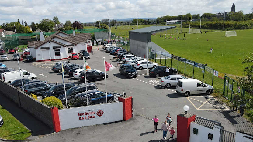 Éire Óg GAA, EnnisGAA ground · 1.8 mi
 Cusack ParkGAA ground · 1.9 mi
Explorer Tom Cusack Park puts Clare hurling in the heart of Ennis, where a strike can set off a roar before the sliotar has decided…
 Kilmaley GAA LisbiggeenGAA ground · 4.3 mi
Explorer Tom Kilmaley's Lisbiggeen ground is the club's newer hurling home, with two pitches, a walkway and enough space for…
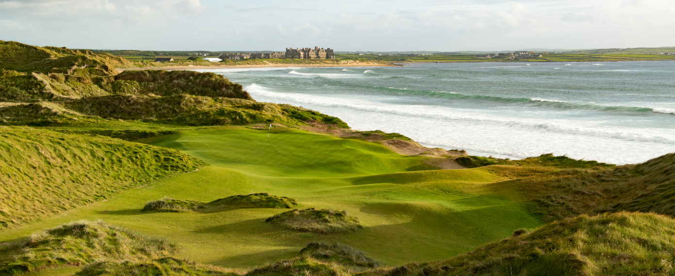 Trump International Golf Links – DoonbegGolf course · 20 mi
 Doughmore BeachBeach / strand · 21 mi
Explorer Tom Doughmore Beach near Doonbeg is not interested in being a dainty little cove. Its sand runs for about four and a half…
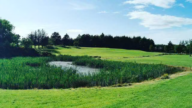 Kilrush Golf ClubGolf course · 23 mi
More archaeology and monuments in County Clare · All of County Clare

What do you know about this place?Tap to add a comment or ask a question