What is recorded here
Depicted as an oval enclosure on the 1840 and 1927 eds of the OS 6-inch map and traditionally associated with the burial of victims of the Asiatic cholera epidemic in 1832 (OS Name Books). The area has been developed as an industrial site, and nothing is visible at ground level.
The above description is derived from the published 'Archaeological Inventory of County Waterford' (Dublin: Stationery Office, 1999). In certain instances the entries have been revised and updated in the light of recent research.
Compiled by: Michael Moore. Date of upload: 25th August, 2011.
A local ancient tomb; wider significance not recorded.
The monument record does not grant public access. Check the route and ask the landowner before entering private land.
- What survives
- Recorded monument
Places near here
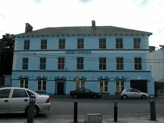 Áras Brúghahotel · 318 yd
 Historic buildingOfficially recorded historic building · 325 yd
 IndicatedHoly well · 349 yd
 Grattan SquareVisitor information · 499 yd
 Waterford County MuseumMuseum · 680 yd
 Dungarvan World War I MemorialMemorial · 766 yd
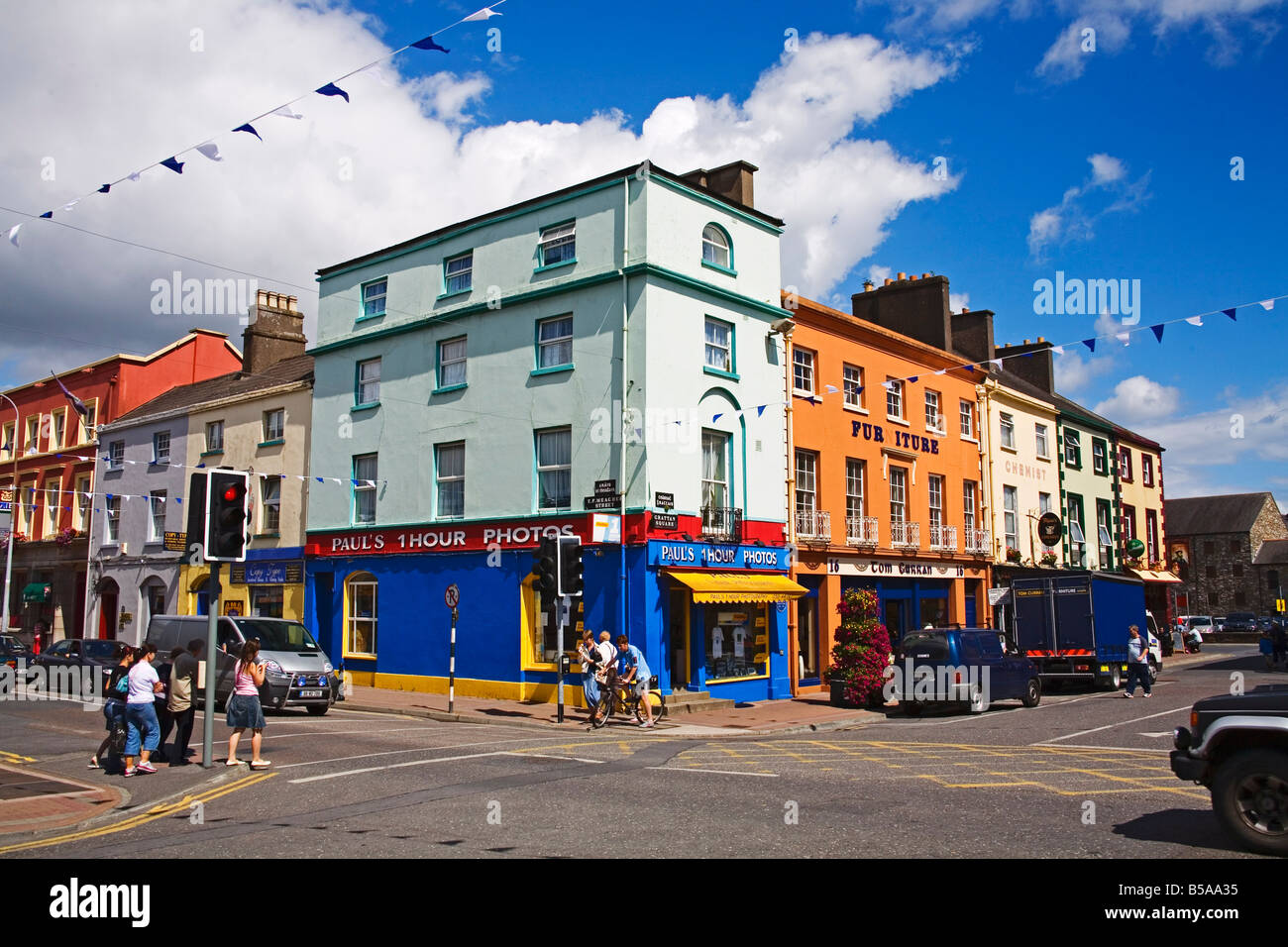 Town defences in DungarvanTown defences · 768 yd
 Dungarvan Castle (in Ruins)Castle, Anglo-Norman masonry castle · 773 yd
 Dungarvan CastleCastle · 773 yd
 CastleCastle, motte · 788 yd
 Cunnigar PointHeadland · 1417 yd
 Horse-chestnutHorse-chestnut · 2.0 mi