
What is recorded here
A natural spring well situated on a slight rise of ground with a nearby river, a tributary of the Dead River, c. 13m to the W. The well was covered in by Tipperary South County Council in the 1940s when a water pump was placed on the site of the well (local information). A nearby holy bush (TS050-019001-) in the form of a thorn bush was located beside the well and was referred to as 'Skagh-minoge' upon which fragments of clothing were attached as votive offerings (Seymour 1917, 39). Two bullaun stones were moved from this location, one (TS050-021----) to a garden c. 230m to the NE and another (TS050-022----) to a field c. 1km to the NNE.
Compiled by: Jean Farrelly
Date of upload: 26 August 2011
The monument record does not grant public access. Check the route and ask the landowner before entering private land.
- What survives
- Recorded monument
Places near here
 Saint Anne's Church (Toem)church/chapel · 159 yd
 LissyverrigeenFairy fort / earthen ringfort · 1154 yd
 Site of CastleCastle, unclassified · 1390 yd
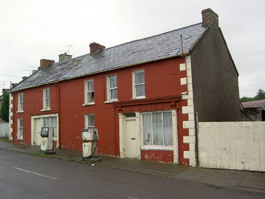 W. Hayeshouse · 1.2 mi
 Enclosure in Moher EastEnclosure · 1.3 mi
 Shanaclogh CastleCastle, unclassified · 1.8 mi
 Green Field ParkWood · 2.1 mi
 GortnageraghMountain / peak · 2.9 mi
 Oola HillMountain / peak · 4.2 mi
 Soloheadbeg Ambushambush · 4.4 mi
 Soloheadbeg Ambush SiteMemorial · 5.0 mi
 Maudemount BogWood · 5.2 mi
Other information
Photo: Credit not shown in the picture search · Rights wording not checked; contact us if this picture should be removed