What is recorded here
In improved pasture, on level elevated ground, with a slight slope down to S. Good views.
Circular sunken area (25m E-W, 24.5m N−S, crest of bank) defined by a broad, substantial earthen bank. The bank is quite compact, rounded on top with a broadly sloping external slope (Wth slope 5m at N, 8m at S; ext. H 0.85m at N, 1.6m at S). The inner slope of the bank merges seamlessly in a broad steep slope (Wth slope c. 10m; int. H 1.55m) with the interior, giving an overall saucer-shaped profile. However, the interior does not appear to be significantly lower than exterior ground level, except on the S side.. A scatter of stones is evident along the top and inner slope of the bank, and few stones are also scattered in the base of the interior, which is soft and wettish underfoot in the centre. There is a low section of bank at SE but it is unclear if this is an entrance.
A field wall, coinciding with the townland boundary, crosses the enclosure on a NNE−SSW axis slightly E of centre. Hawthorn, ash and sycamore trees grow on the field wall. Hawthorn and gorse ring the enclosing bank.
Compiled by: Jane O'Shaughnessy
Date of upload: 21 December 2022
A circular earthen bank and sunken area, likely a Neolithic ring barrow or enclosure; its function and wider significance are not clearly established.
The monument record does not grant public access. Check the route and ask the landowner before entering private land.
- What survives
- Recorded monument
Places near here
 IndicatedEnclosure · 346 yd
 Enclosure in ShantallowEnclosure · 606 yd
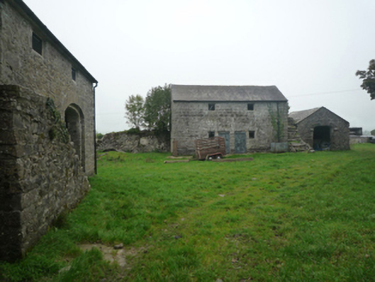 Bushfieldfarmyard complex · 1373 yd
 Chapel (ruin)Church · 1.0 mi
 Castle (in ruins)Castle, unclassified · 1.8 mi
 Castle in ruinsCastle, unclassified · 1.9 mi
 Geoffrey's WoodForest · 3.7 mi
 Oak WoodForest · 4.4 mi
 Mass RockNamed rock · 9.3 mi
 Gibbs IslandsIslet · 11 mi
 Red Island RockIslet · 12 mi
 Enclosure in BushfieldEnclosure · 1461 yd