
Places near here
Photo credits
- National Inventory of Architectural Heritage
- Kmcnamee, Wikimedia Commons · CC BY-SA 4.0
- Marathon, Wikimedia Commons · CC BY-SA 2.0
- Sitomon, Wikimedia Commons · CC BY-SA 2.0
- Gerd Eichmann, Wikimedia Commons · CC BY-SA 4.0
- MPF, Wikimedia Commons · CC BY-SA 4.0
- David Hawgood, Geograph · Creative Commons Attribution-ShareAlike 2.0
Explorer Tom Dolmen in Ryefield East is a wedge tomb that’s very ruined and incorporated into a low mound. The roofstone is huge but…
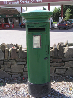 post box1236 yd
Explorer Tom Post box in Whitechurch is an old street furniture legend without even a royal coat of arms to prove its worth. It’s…
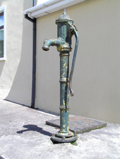 water pump1288 yd
Explorer Tom Water pump in Whitechurch has fluting so good it could be a musician. It’s just a cast-iron pump, but it acts like it’s…
 Whitechurch GAA pitchGAA ground · 1.1 miCarraig na bhFear GAA pitchGAA ground · 1.5 miCastle (in Ruins)Castle, tower house · 1.7 mi
Explorer Tom Castle in Carrignavar is just a mound of rubble and a corner turret now. Daniel MacCarthy built it in 1616, but it has…
 The Seven SistersVisitor attraction · 4.9 mi
Explorer Tom The Seven Sisters have strict rules for visitors, including 'do not touch' and 'please stop asking if they’re related'.…
 The Rock CloseVisitor attraction · 5.0 mi
Explorer Tom The Rock Close is hiding a message in its stones that only reveals itself if you look at it with squinty eyes. It’s got…
 European Yew5.0 mi
Explorer Tom European Yew in Cork is being gossiped about by seagulls who say it's actually two trees pretending to be one. They're…
 Blarney Castle (in Ruins)Castle, tower house · 5.0 mi
Explorer Tom Blarney Castle in Blarney has a dating profile that says 'I like stone walls and people who don't mind getting kissed…
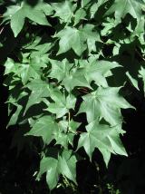 Cappadocian maple5.1 mi
Explorer Tom Cappadocian maple is round like a top, which makes it look like it rolled into the garden and decided to stay. It’s…
 Graveyard5.6 mi
Explorer Tom Graveyard in Rathcooney has been expanding since the 1840s to fit all its headstones. The earliest one is from 1705…
More archaeology and monuments in County Cork · All of County Cork

What do you know about this place?Tap to add a comment or ask a question