What is recorded here
Indicated was a forty-metre fairy fort on a north-facing Cork slope, visible only as hachures on an 1842 map before humanity levelled it into oblivion. A field boundary now cuts through the forgotten circle, splitting pasture from forestry while the true shape vanishes beneath ordinary soil. The land keeps its own calendar, erasing human marks and waiting for patience rather than tools.
On N-facing slope. Depicted as hachured circular enclosure (diam. c. 40m) on 1842 OS 6-inch map. Levelled; no visible surface trace. Field boundary running NW-SE bisects area of site, with forestry on NE side and pasture land to SW.
The above description is derived from the published 'Archaeological Inventory of County Cork. Volume 3: Mid Cork' (Dublin: Stationery Office, 1997). In certain instances the entries have been revised and updated in the light of recent research.
Date of upload/revision: 14 January 2009
The monument record does not grant public access. Check the route and ask the landowner before entering private land.
- What survives
- Recorded monument
Places near here
 Cashel HillfortArchaeological place · 529 yd
 Cashel FortHillfort · 535 yd
 Graveyard in KilnagnadyGraveyard · 1061 yd
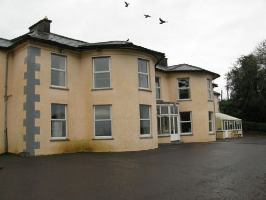 Upton Housecountry house · 1606 yd
 Eastern Lodgegate lodge · 1689 yd
 Sunday WellSpring · 1.3 mi
 Ballyhandle Castle (in Ruins)Castle, Anglo-Norman masonry castle · 1.9 mi
 Dromkeen WoodWood · 3.2 mi
 Dromkeen Wood Nature ReserveForest · 3.3 mi
 Bandon War MemorialMemorial · 4.3 mi
 Carbury's WellSpring · 4.6 mi
 Shippool CastleCastle · 5.3 mi