What is recorded here
Indicated is a broken fairy fort on a damp terrace beside Lisard House, where a low earthen bank rises to nearly two metres before disappearing under a road. Beeches shade the waterlogged interior, and a collapsed underground passage opens near the inner edge like a mouth waiting to be heard. The road may have cut through the fort, taking the southern gate and leaving behind a place that remembers more than it reveals.
On a level terrace on a gentle N-facing slope, immediately NW of the enclosed farmyard buildings of Lisard House. An arc of a rath formed by a low earthen bank (int. H c. 0.75m) WSW-E (dims. 27.2m E-WSW). The enclosing bank is not visible from E-WSW where it may have been truncated by a roadway which runs NE-SW along the S sector of the rath. The bank increases in height gradually from WSW-NW (max. ext. H c. 1.8m). The rath is covered by grass and reeds and is planted with mature beech trees. The level interior is partially waterlogged, particularly near the bank in the NE quadrant. Two later linear earthen banks run roughly N-S, from the surviving bank of the rath in the E and W quadrants, southward to intersect with the roadway. The collapsed opening or passage of a Man-made underground passage (CO141-143002-) is visible in the NW quadrant of the interior, towards the inner edge of the bank.
The above description is derived from 'The Archaeological Inventory of County Cork. Volume 5' (Dublin: Stationery Office, 2009).
Date of upload: 22 December 2009
The monument record does not grant public access. Check the route and ask the landowner before entering private land.
- What survives
- Recorded monument
Places near here
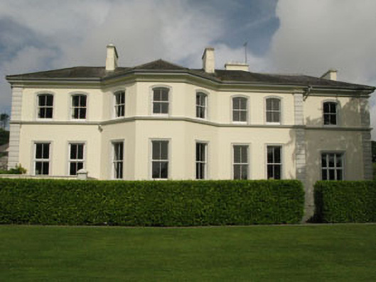 Liss Ardcountry house · 97 yd
 Irish Sky GardenHeritage attraction · 205 yd
 Lake Lodgecountry house · 489 yd
 Man-made underground passage (Site of)Man-made underground passage · 1152 yd
 Site of CastleCastle, unclassified · 1499 yd
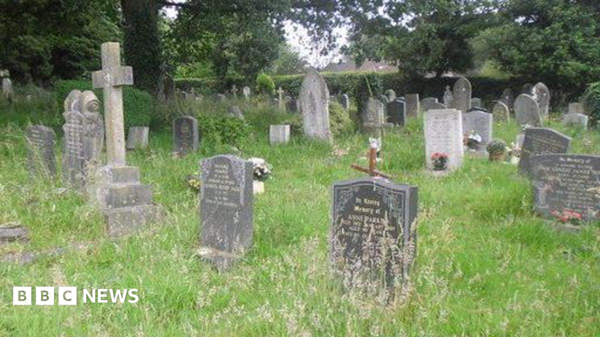 Kill Burial Gd (Children)Burial ground · 1.1 mi
 Wild Atlantic WayVisitor information · 1.1 mi
 Giant's GraveArchaeological place · 1.4 mi
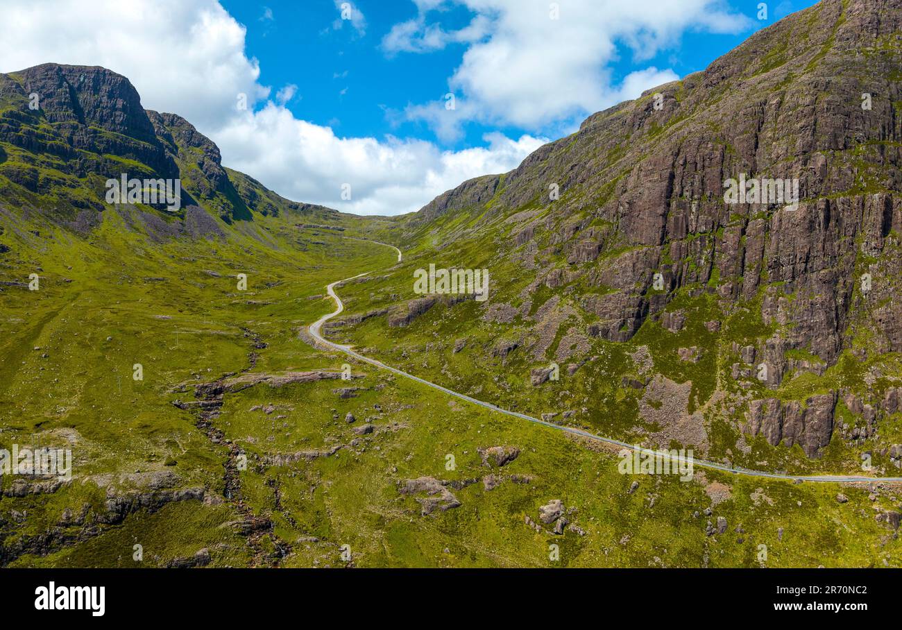 Bealach (pass)Viewpoint · 1.5 mi
 Bishop MahonyMemorial · 1.6 mi
 Suí FinnMountain / peak · 1.6 mi
 Heritage CentreMuseum · 1.6 mi